Reporoa Area, Reporoa Postcode(3083) & Map in Reporoa
Reporoa Area, Reporoa Postcode(3083) & Map in Reporoa, Rotorua District, New Zealand
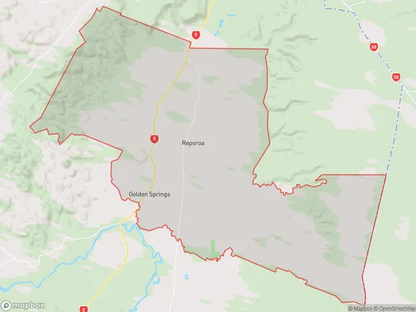
Reporoa, Rotorua District, New Zealand
Reporoa Area (estimated)
254.3 square kilometersReporoa Population (estimated)
1334 people live in Reporoa, Waikato, NZReporoa Suburb Area Map (Polygon)
Reporoa Introduction
Reporoa is a small town in Waikato, New Zealand, known for its scenic surroundings, including the Reporoa Forest and the Waikato River. It is a popular destination for outdoor activities such as hiking, cycling, and fishing, and is home to a number of historic buildings and landmarks. The town also has a strong community spirit and a number of annual events and festivals, including the Reporoa Agricultural and Pastoral Show.Region
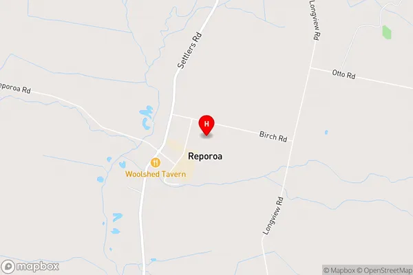
0Suburb Name
ReporoaOther Name(s)
Golden Springs, Kaingaroa Forest North, Parekarangi, WharepainaReporoa Area Map (Street)
Local Authority
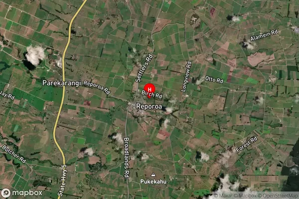
Rotorua DistrictFull Address
Reporoa, Rotorua District, New ZealandAddress Type
Locality in Town ReporoaReporoa Suburb Map (Satellite)
Country
Main Region in AU
WaikatoReporoa Region Map

Coordinates
-38.4346745,176.3466687 (latitude/longitude)Distances
The distance from Reporoa, Reporoa, Rotorua District to NZ Top 10 Cities