Seddon Area, Seddon Postcode(7210) & Map in Seddon
Seddon Area, Seddon Postcode(7210) & Map in Seddon, Marlborough District, New Zealand
Seddon, Marlborough District, New Zealand
Seddon Area (estimated)
420.2 square kilometersSeddon Population (estimated)
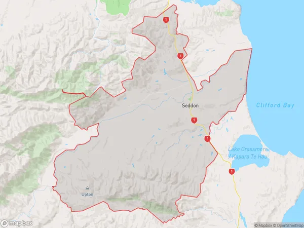
989 people live in Seddon, Marlborough, NZSeddon Suburb Area Map (Polygon)
Seddon Introduction
Seddon is a small rural town in Marlborough, New Zealand. It is located on State Highway 1, between Blenheim and Renwick. The town has a population of around 500 people and is known for its scenic surroundings, including the Seddon River and the Riwaka Forest. Seddon is also home to a variety of businesses, including a supermarket, a hardware store, and a café.Region
Major City
Suburb Name
SeddonOther Name(s)
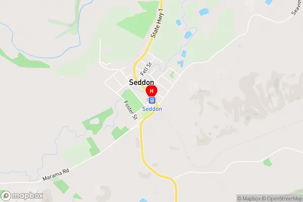
DashwoodSeddon Area Map (Street)
Local Authority
Marlborough DistrictFull Address
Seddon, Marlborough District, New ZealandAddress Type
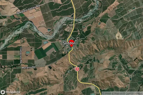
Suburb in Town SeddonSeddon Suburb Map (Satellite)
Country
Main Region in AU
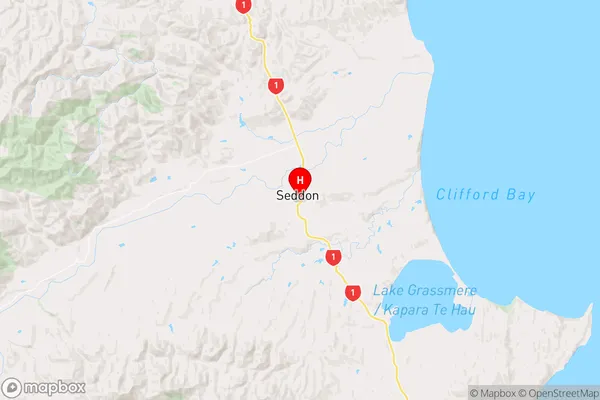
MarlboroughSeddon Region Map
Coordinates
-41.6735656,174.0750633 (latitude/longitude)Distances
The distance from Seddon, Seddon, Marlborough District to NZ Top 10 Cities