Te Haroto Area, Te Haroto Postcode(4120) & Map in Te Haroto
Te Haroto Area, Te Haroto Postcode(4120) & Map in Te Haroto, Hastings District, New Zealand
Te Haroto, Hastings District, New Zealand
Te Haroto Postcodes
Te Haroto Area (estimated)
596.7 square kilometersTe Haroto Population (estimated)
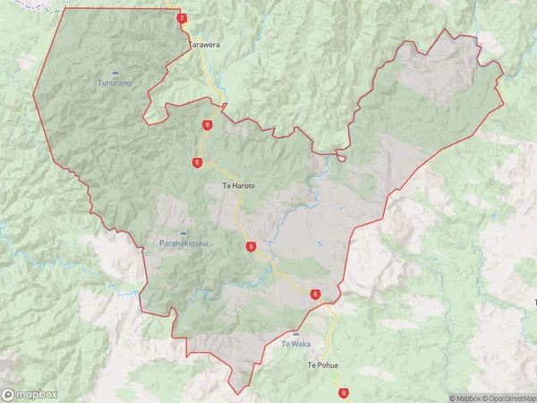
135 people live in Te Haroto, Hawke's Bay, NZTe Haroto Suburb Area Map (Polygon)
Te Haroto Introduction
Te Haroto is a small coastal settlement located in the Napier region of Hawke's Bay, New Zealand. It is known for its stunning natural beauty, including rugged coastline, picturesque beaches, and lush green forests. The settlement has a population of around 100 people and is a popular destination for tourists and outdoor enthusiasts. It is also home to a historic church and a small community hall.Region
Major City
Suburb Name
Te HarotoOther Name(s)
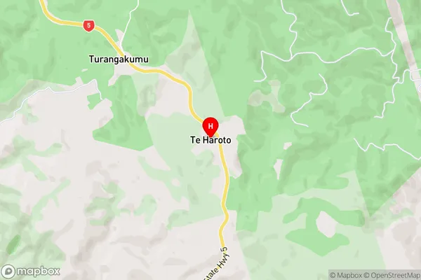
PoronuiTe Haroto Area Map (Street)
Local Authority
Hastings DistrictFull Address
Te Haroto, Hastings District, New ZealandAddress Type
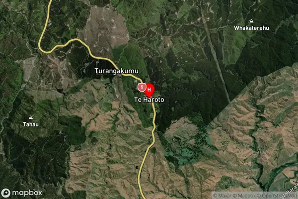
Locality in City NapierTe Haroto Suburb Map (Satellite)
Country
Main Region in AU
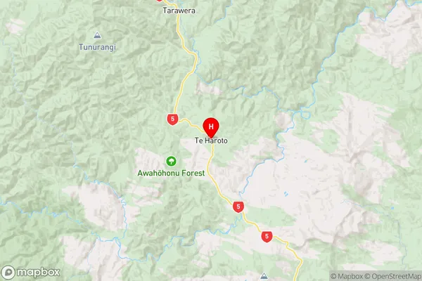
Hawke's BayTe Haroto Region Map
Coordinates
-39.1258415,176.6056383 (latitude/longitude)Distances
The distance from Te Haroto, Napier, Hastings District to NZ Top 10 Cities