Tumunui Area, Tumunui Postcode & Map in Tumunui
Tumunui Area, Tumunui Postcode & Map in Tumunui, Rotorua District,
Tumunui, Rotorua District,
Tumunui Area (estimated)
98.0 square kilometersTumunui Population (estimated)
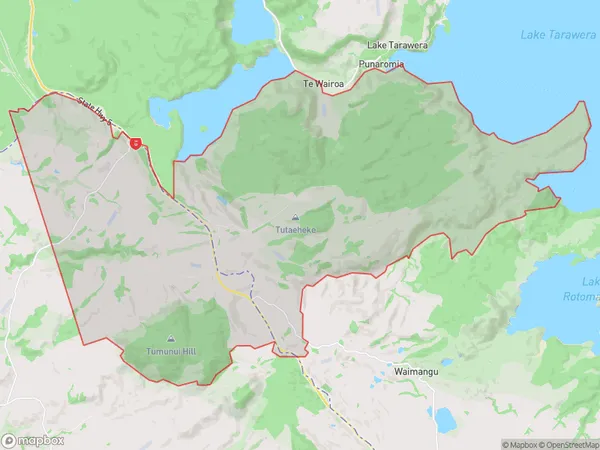
95 people live in Tumunui, Rotorua, NZTumunui Suburb Area Map (Polygon)
Tumunui Introduction
Tumunui is a mountain in Rotorua, Bay of Plenty, New Zealand. It is a popular hiking and climbing destination with stunning views of the surrounding area. The mountain is also home to a variety of wildlife, including native birds and reptiles.Region
Major City
Suburb Name
TumunuiOther Name(s)
Earthquake FlatTumunui Area Map (Street)
Local Authority
Rotorua DistrictFull Address
Tumunui, Rotorua District,Address Type
Locality in City RotoruaTumunui Suburb Map (Satellite)
Country
Main Region in AU
Bay of PlentyTumunui Region Map
Coordinates
0,0 (latitude/longitude)Distances
The distance from Tumunui, Rotorua, Rotorua District to NZ Top 10 Cities