Victoria Area, Victoria Postcode(3010) & Map in Victoria
Victoria Area, Victoria Postcode(3010) & Map in Victoria, Rotorua District, New Zealand
Victoria, Rotorua District, New Zealand
Victoria Postcodes
Victoria Area (estimated)
1.0 square kilometersVictoria Population (estimated)
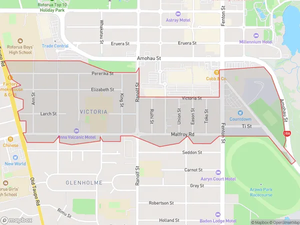
2593 people live in Victoria, Rotorua, NZVictoria Suburb Area Map (Polygon)
Victoria Introduction
Victoria is a small town in the Bay of Plenty region of New Zealand. It is well-known for its hot springs, geysers, and Maori culture. Visitors can enjoy soaking in the natural hot pools, exploring the geyser fields, and learning about Maori traditions and history at the Te Papa Tongarewa Museum. The town also has a beautiful lake, scenic gardens, and a variety of outdoor activities such as hiking, biking, and fishing.Region
Major City
Suburb Name
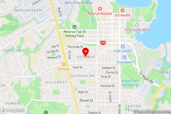
VictoriaVictoria Area Map (Street)
Local Authority
Rotorua DistrictFull Address
Victoria, Rotorua District, New ZealandAddress Type
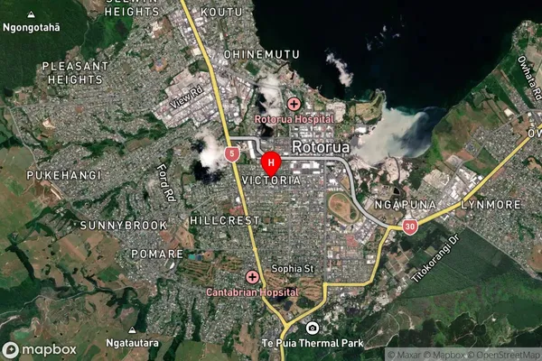
Suburb in City RotoruaVictoria Suburb Map (Satellite)
Country
Main Region in AU
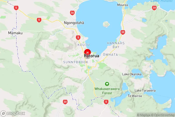
Bay of PlentyVictoria Region Map
Coordinates
-38.1431889,176.2435108 (latitude/longitude)Distances
The distance from Victoria, Rotorua, Rotorua District to NZ Top 10 Cities