Western Heights Area, Western Heights Postcode(3015) & Map in Western Heights
Western Heights Area, Western Heights Postcode(3015) & Map in Western Heights, Rotorua District, New Zealand
Western Heights, Rotorua District, New Zealand
Western Heights Postcodes
Western Heights Area (estimated)
6.2 square kilometersWestern Heights Population (estimated)
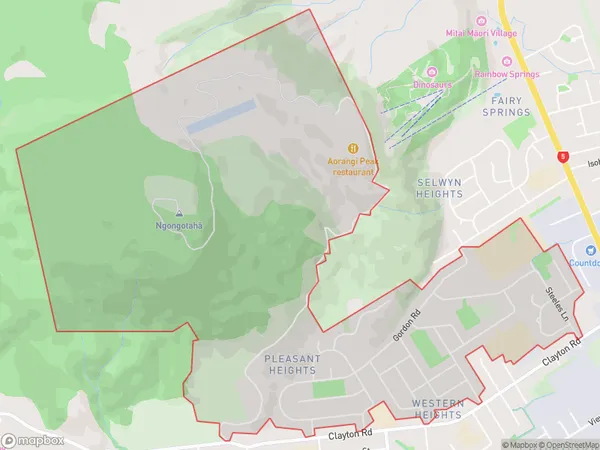
3822 people live in Western Heights, Rotorua, NZWestern Heights Suburb Area Map (Polygon)
Western Heights Introduction
Western Heights is a suburb of Rotorua, Bay of Plenty, New Zealand. It is known for its stunning panoramic views of the city, including Lake Rotorua and the surrounding mountains. The suburb is home to a diverse range of people and has a strong sense of community. It is also home to a variety of recreational facilities, including parks, playgrounds, and sports fields.Region
Major City
Suburb Name
Western HeightsOther Name(s)
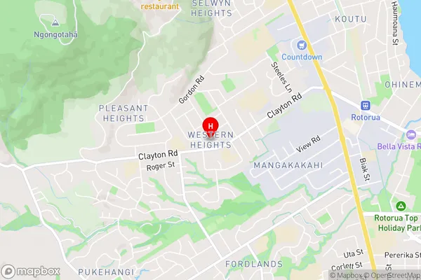
Pleasant HeightsWestern Heights Area Map (Street)
Local Authority
Rotorua DistrictFull Address
Western Heights, Rotorua District, New ZealandAddress Type
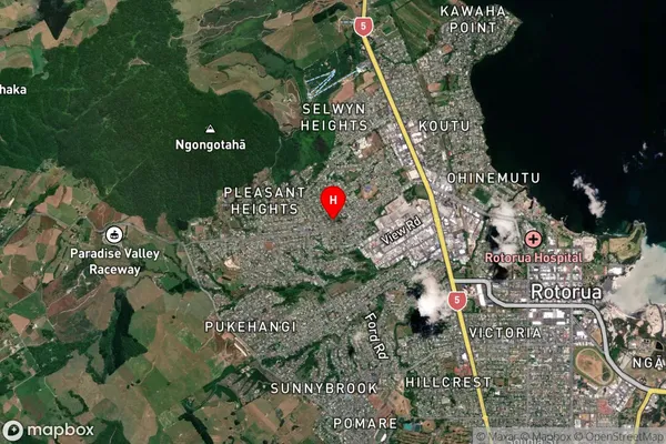
Suburb in City RotoruaWestern Heights Suburb Map (Satellite)
Country
Main Region in AU
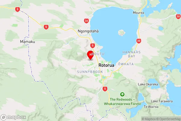
Bay of PlentyWestern Heights Region Map
Coordinates
-38.1296775,176.2169063 (latitude/longitude)Distances
The distance from Western Heights, Rotorua, Rotorua District to NZ Top 10 Cities