Ruatapu Area, Ruatapu Postcode(7883) & Map in Ruatapu
Ruatapu Area, Ruatapu Postcode(7883) & Map in Ruatapu, Westland District, New Zealand
Ruatapu, Westland District, New Zealand
Ruatapu Postcodes
Ruatapu Area (estimated)
-1.2 square kilometersRuatapu Population (estimated)
600 people live in Ruatapu, West Coast, NZRuatapu Suburb Area Map (Polygon)
Not available for nowRuatapu Introduction
Ruatapu is a small rural community on the West Coast of New Zealand's South Island. It is located in the Grey District and is known for its stunning natural surroundings, including the Ruatapu Forest Park and the nearby Hokitika Gorge. The community has a population of around 100 people and is home to a variety of businesses, including a hotel, a cafe, and a gas station. Ruatapu is also a popular destination for outdoor enthusiasts, with many hiking and cycling trails in the area.Region
0Suburb Name
RuatapuOther Name(s)
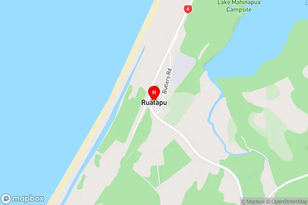
Arthurstown, Mananui, Rimu, Takutai, WoodstockRuatapu Area Map (Street)
Local Authority
Westland DistrictFull Address
Ruatapu, Westland District, New ZealandAddress Type
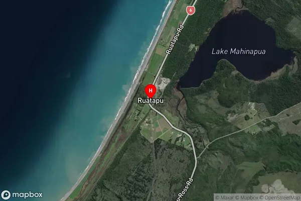
Locality in Major Locality RuatapuRuatapu Suburb Map (Satellite)
Country
Main Region in AU
West CoastRuatapu Region Map

Coordinates
-42.8084667,170.8867978 (latitude/longitude)Distances
The distance from Ruatapu, Ruatapu, Westland District to NZ Top 10 Cities