Putere Area, Putere Postcode & Map in Putere
Putere Area, Putere Postcode & Map in Putere, Wairoa District,
Putere, Wairoa District,
Putere Area (estimated)
412.6 square kilometersPutere Population (estimated)
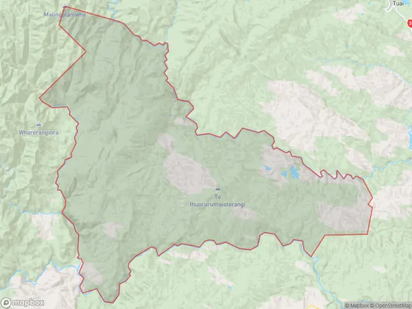
44 people live in Putere, Wairoa, NZPutere Suburb Area Map (Polygon)
Putere Introduction
Putere, Raupunga, Hawke's Bay, NZ, is a small rural community with a population of around 100 people. It is located in the heart of the Hawke's Bay wine region and is known for its beautiful gardens, historic buildings, and peaceful atmosphere. The area has a rich history, with the first settlers arriving in the 1840s. The village has a primary school, a post office, a church, and a community hall, and there are several nearby wineries and restaurants.Region
Major City
Suburb Name
PuterePutere Area Map (Street)
Local Authority
Wairoa DistrictFull Address
Putere, Wairoa District,Address Type
Locality in Major Locality RaupungaPutere Suburb Map (Satellite)
Country
Main Region in AU
Hawke's BayPutere Region Map
Coordinates
0,0 (latitude/longitude)Distances
The distance from Putere, Raupunga, Wairoa District to NZ Top 10 Cities