Pongakawa Area, Pongakawa Postcode(3186) & Map in Pongakawa
Pongakawa Area, Pongakawa Postcode(3186) & Map in Pongakawa, Western Bay of Plenty District, New Zealand
Pongakawa, Western Bay of Plenty District, New Zealand
Pongakawa Postcodes
Pongakawa Area (estimated)
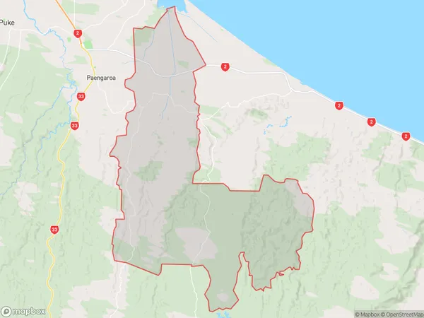
217.7 square kilometersPongakawa Population (estimated)
1201 people live in Pongakawa, Bay of Plenty, NZPongakawa Suburb Area Map (Polygon)
Pongakawa Introduction
Pongakawa is a small town located in the Bay of Plenty region of New Zealand. It is known for its lush forests, waterfalls, and scenic views. The town is home to a population of around 1,000 people and is surrounded by the Pongakawa Forest Park, which is a popular destination for hiking, mountain biking, and picnicking. The town also has a historic village with a variety of antique shops and cafes.Region
Major City
Suburb Name
PongakawaOther Name(s)
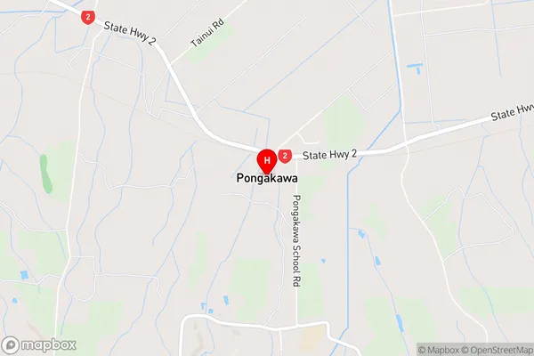
Maniatutu, Pongakawa Valley, Pungakawa, RotoitiPongakawa Area Map (Street)
Local Authority
Western Bay of Plenty DistrictFull Address
Pongakawa, Western Bay of Plenty District, New ZealandAddress Type
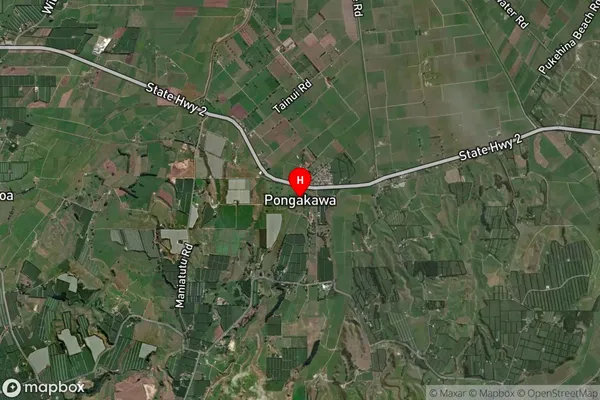
Locality in Town PongakawaPongakawa Suburb Map (Satellite)
Country
Main Region in AU
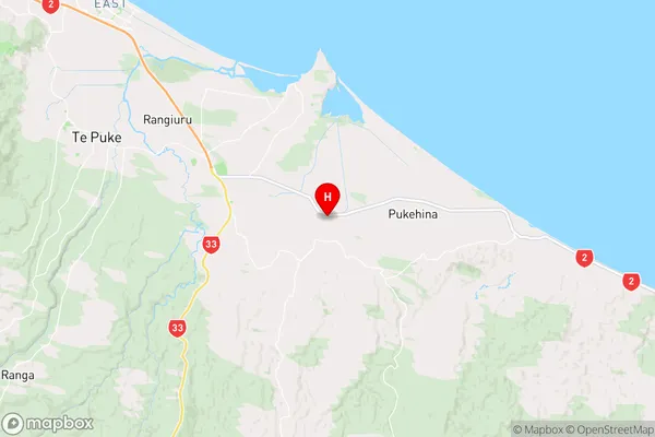
Bay of PlentyPongakawa Region Map
Coordinates
-37.8255909,176.4722334 (latitude/longitude)Distances
The distance from Pongakawa, Pongakawa, Western Bay of Plenty District to NZ Top 10 Cities