Omataroa Area, Omataroa Postcode & Map in Omataroa
Omataroa Area, Omataroa Postcode & Map in Omataroa, Whakatane District,
Omataroa, Whakatane District,
Omataroa Area (estimated)
71.1 square kilometersOmataroa Population (estimated)
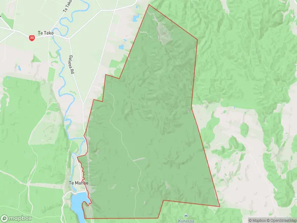
9 people live in Omataroa, Whakatane, NZOmataroa Suburb Area Map (Polygon)
Omataroa Introduction
Omataroa is a small rural community located in the Bay of Plenty region of New Zealand. It is known for its beautiful beaches, stunning natural scenery, and friendly locals. The area is popular with tourists and outdoor enthusiasts, who enjoy activities such as hiking, fishing, and surfing. The community also has a rich cultural heritage, with several historic buildings and landmarks.Region
Major City
Suburb Name
Omataroa (Maori Name: Ōmataroa)Omataroa Area Map (Street)
Local Authority
Whakatane DistrictFull Address
Omataroa, Whakatane District,Address Type
Locality in Town WhakataneOmataroa Suburb Map (Satellite)
Country
Main Region in AU
Bay of PlentyOmataroa Region Map
Coordinates
0,0 (latitude/longitude)Distances
The distance from Omataroa, Whakatane, Whakatane District to NZ Top 10 Cities