Ngamatapouri Area, Ngamatapouri Postcode(4588) & Map in Ngamatapouri
Ngamatapouri Area, Ngamatapouri Postcode(4588) & Map in Ngamatapouri, South Taranaki District, New Zealand
Ngamatapouri, South Taranaki District, New Zealand
Ngamatapouri Postcodes
Ngamatapouri Area (estimated)
391.2 square kilometersNgamatapouri Population (estimated)
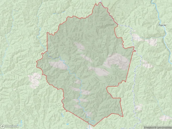
72 people live in Ngamatapouri, Taranaki, NZNgamatapouri Suburb Area Map (Polygon)
Ngamatapouri Introduction
Ngamatapouri is a small coastal village located in the Whanganui region of New Zealand's North Island. It is situated on the western coast of the Bay of Islands and is known for its stunning natural beauty, including crystal-clear waters, sandy beaches, and lush forests. The village has a population of around 100 people and is a popular destination for tourists and outdoor enthusiasts alike. It is also home to a small fishing community that relies on the surrounding waters for their livelihood.Region
0Suburb Name
NgamatapouriOther Name(s)
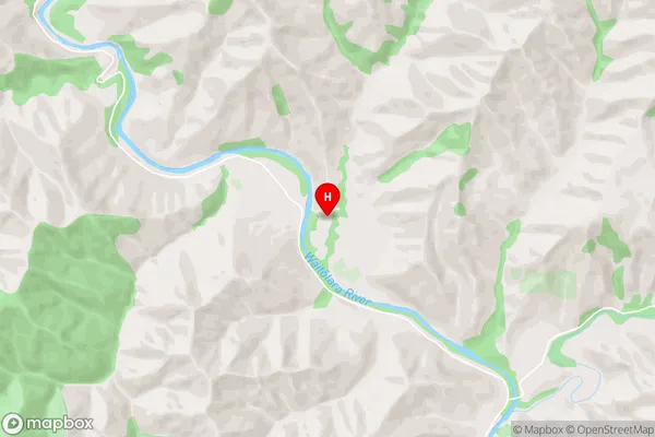
Makakaho, Makakaho Junction, Taumatatahi, TawhiwhiNgamatapouri Area Map (Street)
Local Authority
South Taranaki DistrictFull Address
Ngamatapouri, South Taranaki District, New ZealandAddress Type
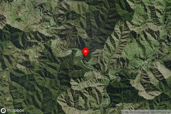
Locality in Town WhanganuiNgamatapouri Suburb Map (Satellite)
Country
Main Region in AU
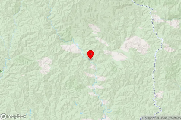
TaranakiNgamatapouri Region Map
Coordinates
-39.5752127,174.8265338 (latitude/longitude)Distances
The distance from Ngamatapouri, Whanganui, South Taranaki District to NZ Top 10 Cities