Maruia Area, Maruia Postcode(7862) & Map in Maruia, Buller District
Maruia Area, Maruia Postcode(7862) & Map in Maruia, Buller District, Tasman District, New Zealand
Maruia, Buller District, Tasman District, New Zealand
Maruia Postcodes
Maruia Area (estimated)
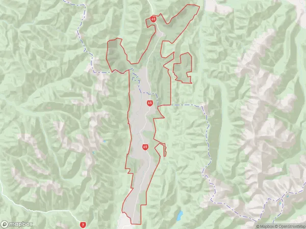
167.7 square kilometersMaruia Population (estimated)
96 people live in Maruia, West Coast, NZMaruia Suburb Area Map (Polygon)
Maruia Introduction
Maruia is a small rural community on the West Coast of New Zealand's South Island. It is located in the Grey District and is known for its scenic surroundings, including the Maruia Falls and the Maruia River. The community has a population of around 100 people and is surrounded by native forest and farmland. Maruia is a popular destination for outdoor enthusiasts, with many hiking and tramping tracks in the area. The community also has a small school and a community hall.Region
0Suburb Name
MaruiaOther Name(s)
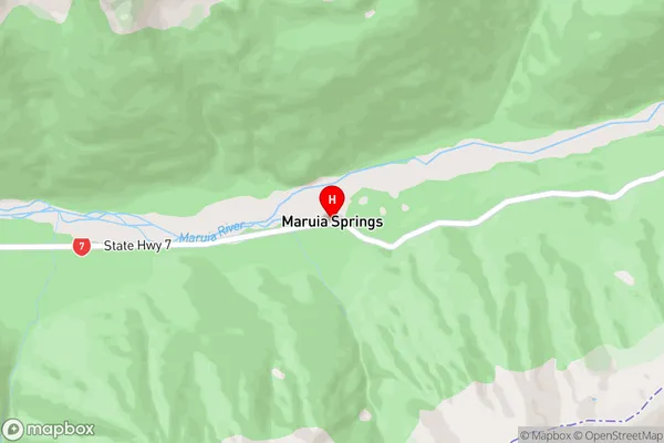
Burnbrae, Maruia Springs, St James Range, Warwick JunctionMaruia Area Map (Street)
Local Authority
Buller District, Tasman DistrictFull Address
Maruia, Buller District, Tasman District, New ZealandAddress Type
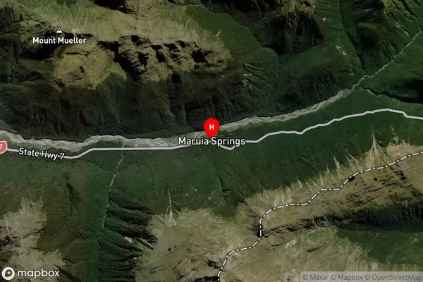
Locality in Major Locality MaruiaMaruia Suburb Map (Satellite)
Country
Main Region in AU
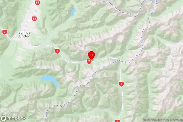
West CoastMaruia Region Map
Coordinates
-42.3792281,172.3332276 (latitude/longitude)Distances
The distance from Maruia, Maruia, Buller District, Tasman District to NZ Top 10 Cities