Manorburn Area, Manorburn Postcode & Map in Manorburn
Manorburn Area, Manorburn Postcode & Map in Manorburn, Central Otago District,
Manorburn, Central Otago District,
Manorburn Area (estimated)
373.9 square kilometersManorburn Population (estimated)
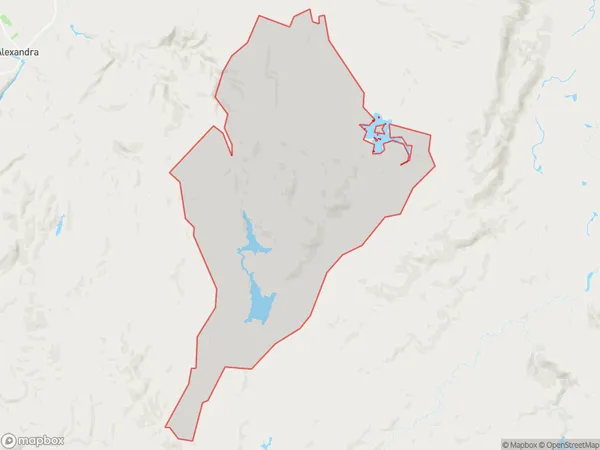
2 people live in Manorburn, , NZManorburn Suburb Area Map (Polygon)
Manorburn Introduction
Manorburn, Moa Creek, Southland, New Zealand, is a small rural community located in the Southern Alps. It is known for its scenic beauty, with stunning views of the surrounding mountains and valleys. The area is popular with outdoor enthusiasts, who enjoy hiking, skiing, and mountain biking. The community has a primary school, a post office, and a small supermarket.00Suburb Name
ManorburnOther Name(s)
Knobbies, Onslow, Otago GoldfieldsManorburn Area Map (Street)
Local Authority
Central Otago DistrictFull Address
Manorburn, Central Otago District,Address Type
Locality in Major Locality Moa CreekManorburn Suburb Map (Satellite)
Country
Main Region in AU
Manorburn Region Map
Coordinates
0,0 (latitude/longitude)Distances
The distance from Manorburn, Moa Creek, Central Otago District to NZ Top 10 Cities