Macetown Area, Macetown Postcode(9300) & Map in Macetown
Macetown Area, Macetown Postcode(9300) & Map in Macetown, Queenstown-Lakes District, New Zealand
Macetown, Queenstown-Lakes District, New Zealand
Macetown Postcodes
Macetown Area (estimated)
127.5 square kilometersMacetown Population (estimated)
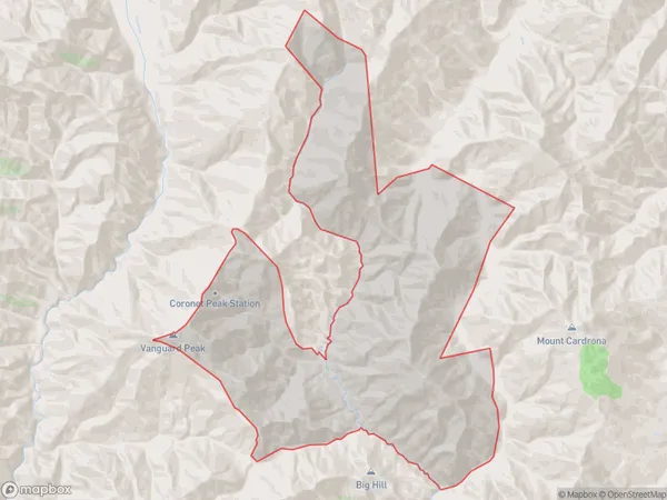
2 people live in Macetown, Otago, NZMacetown Suburb Area Map (Polygon)
Macetown Introduction
Macetown is a small residential area in Queenstown, Otago, New Zealand. It is located on the banks of the Shotover River and is known for its historic buildings and scenic views. The area was originally settled by gold miners in the 1860s and has since developed into a popular tourist destination. Macetown is home to a variety of shops, restaurants, and accommodations, as well as a museum that tells the story of the area's mining history.Region
0Suburb Name
MacetownOther Name(s)
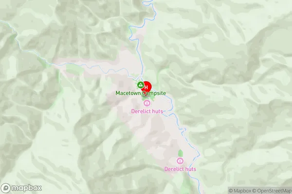
Otago GoldfieldsMacetown Area Map (Street)
Local Authority
Queenstown-Lakes DistrictFull Address
Macetown, Queenstown-Lakes District, New ZealandAddress Type
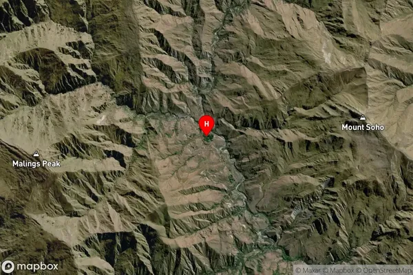
Locality in Town QueenstownMacetown Suburb Map (Satellite)
Country
Main Region in AU
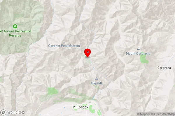
OtagoMacetown Region Map
Coordinates
-44.8668516,168.8201003 (latitude/longitude)Distances
The distance from Macetown, Queenstown, Queenstown-Lakes District to NZ Top 10 Cities