Longburn Area, Longburn Postcode(4412) & Map in Longburn, Manawatu District
Longburn Area, Longburn Postcode(4412) & Map in Longburn, Manawatu District, Palmerston North City, New Zealand
Longburn, Manawatu District, Palmerston North City, New Zealand
Longburn Area (estimated)
17.5 square kilometersLongburn Population (estimated)
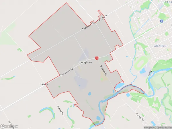
772 people live in Longburn, Palmerston North, NZLongburn Suburb Area Map (Polygon)
Longburn Introduction
Longburn is a small rural community in the Manawatu-Wanganui region of New Zealand. It is located about 30 minutes south of Palmerston North and 2 hours north of Wellington. The area is known for its scenic countryside, with rolling hills and lush green fields. Longburn has a primary school, a post office, and a small supermarket. The community is surrounded by farmland and has a peaceful and relaxed atmosphere.Region
Major City
Suburb Name
LongburnOther Name(s)
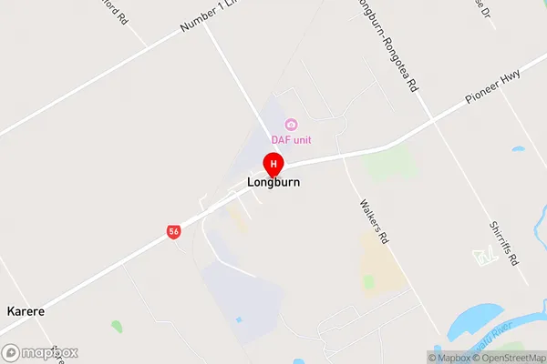
Linton Military CampLongburn Area Map (Street)
Local Authority
Manawatu District, Palmerston North CityFull Address
Longburn, Manawatu District, Palmerston North City, New ZealandAddress Type
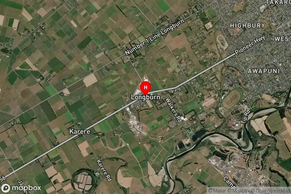
Locality in City Palmerston NorthLongburn Suburb Map (Satellite)
Country
Main Region in AU
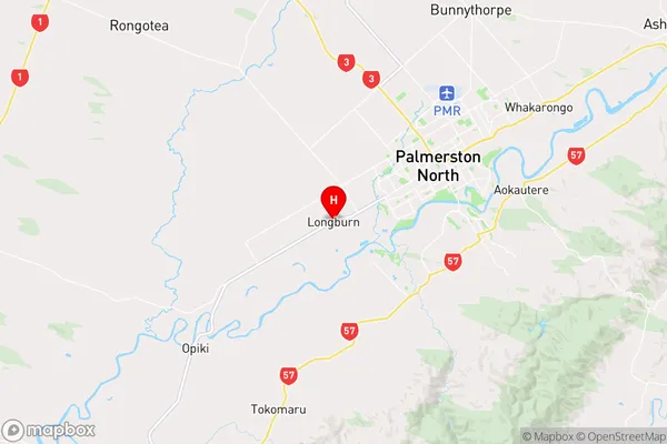
Manawatu-WanganuiLongburn Region Map
Coordinates
-40.3826852,175.5467006 (latitude/longitude)Distances
The distance from Longburn, Palmerston North, Manawatu District, Palmerston North City to NZ Top 10 Cities