Lee Flat Area, Lee Flat Postcode & Map in Lee Flat
Lee Flat Area, Lee Flat Postcode & Map in Lee Flat, Clutha District, New Zealand
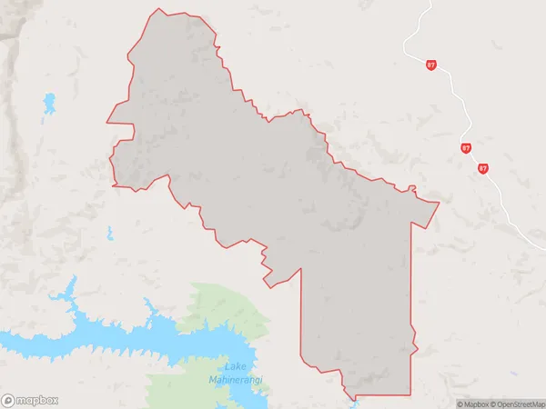
Lee Flat, Clutha District, New Zealand
Lee Flat Area (estimated)
106.9 square kilometersLee Flat Population (estimated)
20 people live in Lee Flat, Otago, NZLee Flat Suburb Area Map (Polygon)
Lee Flat Introduction
Lee Flat is a historic settlement located in Outram, Otago, New Zealand. It was established in the 1860s by Chinese immigrants and is known for its well-preserved stone buildings and rich cultural heritage. The settlement features a Chinese temple, a cemetery, and a community hall, which are important cultural landmarks. Lee Flat also has a beautiful natural environment, with nearby mountains and rivers providing opportunities for hiking, fishing, and camping.Region
Major City
Suburb Name
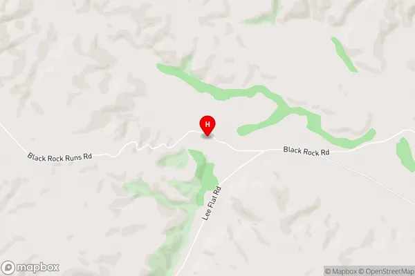
Lee FlatLee Flat Area Map (Street)
Local Authority
Clutha DistrictFull Address
Lee Flat, Clutha District, New ZealandAddress Type
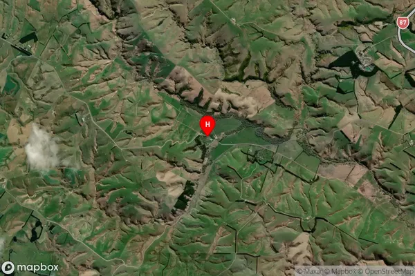
Locality in Town OutramLee Flat Suburb Map (Satellite)
Country
Main Region in AU
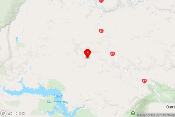
OtagoLee Flat Region Map
Coordinates
-45.7804837,170.0287056 (latitude/longitude)Distances
The distance from Lee Flat, Outram, Clutha District to NZ Top 10 Cities