Lammermoor Area, Lammermoor Postcode & Map in Lammermoor
Lammermoor Area, Lammermoor Postcode & Map in Lammermoor, Central Otago District, New Zealand
Lammermoor, Central Otago District, New Zealand
Lammermoor Area (estimated)
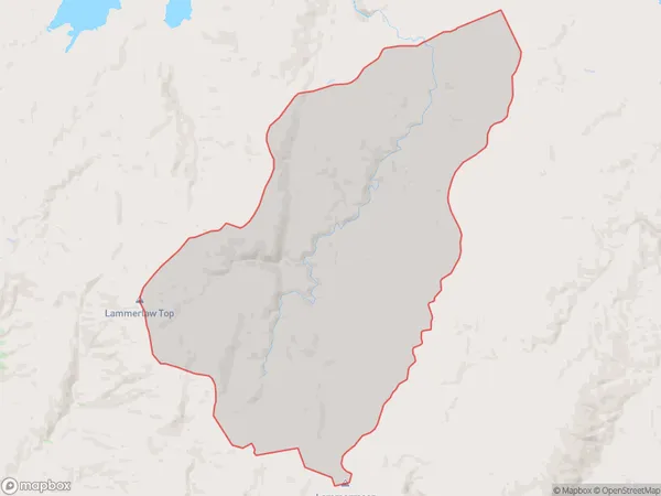
151.3 square kilometersLammermoor Population (estimated)
0 people live in Lammermoor, Otago, NZLammermoor Suburb Area Map (Polygon)
Lammermoor Introduction
Lammermoor is a small township and farming community in Middlemarch, Otago, New Zealand. It is known for its scenic landscapes, including the famous Lammermoor Range, and for its rich agricultural heritage. The township was established in the 1860s and has a population of around 1,000 people. It is surrounded by picturesque farmland and is located approximately 30 minutes from Dunedin city.Region
Major City
Suburb Name
LammermoorOther Name(s)
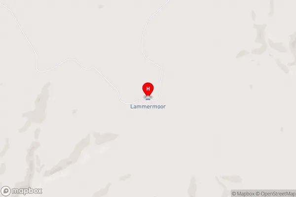
OnslowLammermoor Area Map (Street)
Local Authority
Central Otago DistrictFull Address
Lammermoor, Central Otago District, New ZealandAddress Type
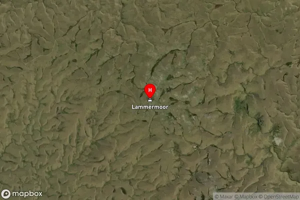
Locality in Major Locality MiddlemarchLammermoor Suburb Map (Satellite)
Country
Main Region in AU
OtagoLammermoor Region Map

Coordinates
-45.7203859,169.7373136 (latitude/longitude)Distances
The distance from Lammermoor, Middlemarch, Central Otago District to NZ Top 10 Cities