Kaweka Forest Park Area, Kaweka Forest Park Postcode & Map in Kaweka Forest Park
Kaweka Forest Park Area, Kaweka Forest Park Postcode & Map in Kaweka Forest Park, Hastings District,
Kaweka Forest Park, Hastings District,
Kaweka Forest Park Area (estimated)
748.0 square kilometersKaweka Forest Park Population (estimated)
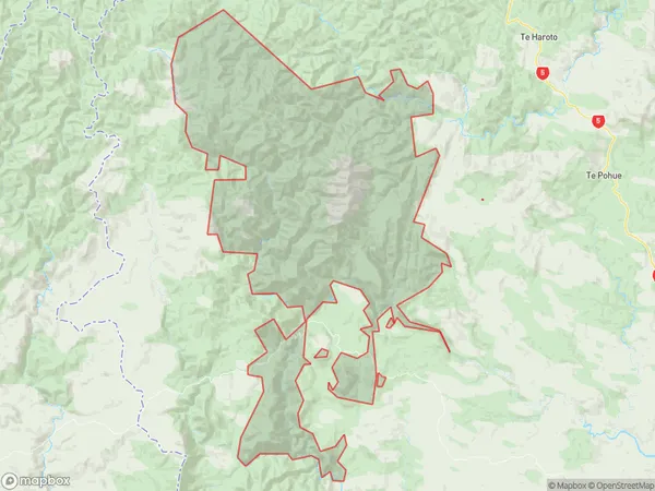
67 people live in Kaweka Forest Park, , NZKaweka Forest Park Suburb Area Map (Polygon)
Kaweka Forest Park Introduction
Kaweka Forest Park is a 26,000-hectare forest park located in the Central North Island of New Zealand. It is known for its diverse range of plant and animal species, including the Kaweka, or North Island Brown Kiwi, which is endemic to the region. The park also offers a range of outdoor activities such as hiking, mountain biking, and hunting.00Suburb Name
Kaweka Forest ParkOther Name(s)
PoronuiKaweka Forest Park Area Map (Street)
Local Authority
Hastings DistrictFull Address
Kaweka Forest Park, Hastings District,Address Type
Conservation Land in Major Locality Kaweka Forest ParkKaweka Forest Park Suburb Map (Satellite)
Country
Main Region in AU
Kaweka Forest Park Region Map
Coordinates
0,0 (latitude/longitude)Distances
The distance from Kaweka Forest Park, Kaweka Forest Park, Hastings District to NZ Top 10 Cities