Kaihu Area, Kaihu Postcode(0379) & Map in Kaihu
Kaihu Area, Kaihu Postcode(0379) & Map in Kaihu, Kaipara District, New Zealand
Kaihu, Kaipara District, New Zealand
Kaihu Postcodes
Kaihu Area (estimated)
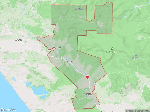
101.4 square kilometersKaihu Population (estimated)
199 people live in Kaihu, Northland, NZKaihu Suburb Area Map (Polygon)
Kaihu Introduction
Kaihu is a small town in Northland, New Zealand. It is located on the Kaihu River and is known for its scenic beauty and outdoor activities such as fishing, hiking, and kayaking. The town has a population of around 200 people and is surrounded by lush forests and farmland. Kaihu is also home to a historic cheese factory and a popular pub.Region
0Suburb Name
KaihuOther Name(s)
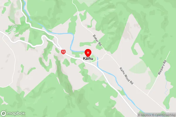
Ahikiwi, Maropiu, WhatoroKaihu Area Map (Street)
Local Authority
Kaipara DistrictFull Address
Kaihu, Kaipara District, New ZealandAddress Type
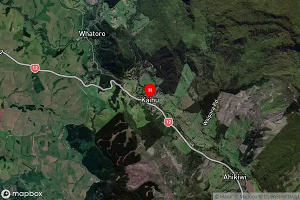
Locality in Major Locality KaihuKaihu Suburb Map (Satellite)
Country
Main Region in AU
NorthlandKaihu Region Map

Coordinates
-35.7686962,173.6957805 (latitude/longitude)Distances
The distance from Kaihu, Kaihu, Kaipara District to NZ Top 10 Cities