Howard Area, Howard Postcode & Map in Howard
Howard Area, Howard Postcode & Map in Howard, Tasman District, New Zealand
Howard, Tasman District, New Zealand
Howard Area (estimated)
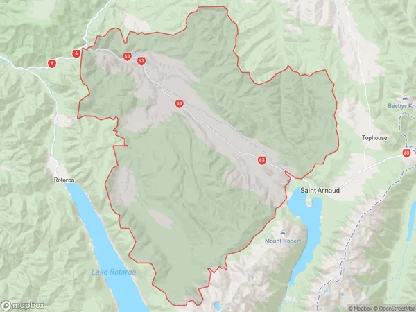
366.0 square kilometersHoward Population (estimated)
35 people live in Howard, Tasman, NZHoward Suburb Area Map (Polygon)
Howard Introduction
Howard is a small rural community in St. Arnaud, Tasman District, New Zealand. It is located on State Highway 6, approximately 20 km south of St. Arnaud and 120 km north of Nelson. The area is known for its scenic beauty, including the picturesque St. Arnaud Range and the surrounding forests. The community has a primary school, a post office, a general store, and a few accommodation options. Howard is a popular destination for outdoor enthusiasts, with numerous hiking and biking trails in the area.00Suburb Name
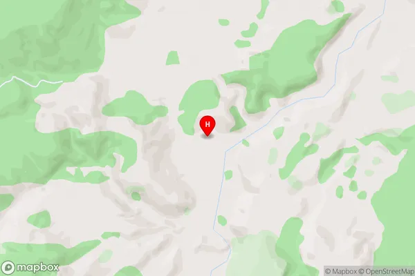
HowardHoward Area Map (Street)
Local Authority
Tasman DistrictFull Address
Howard, Tasman District, New ZealandAddress Type
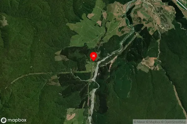
Locality in Major Locality St. ArnaudHoward Suburb Map (Satellite)
Country
Main Region in AU
TasmanHoward Region Map

Coordinates
-41.7635807,172.6636648 (latitude/longitude)Distances
The distance from Howard, St. Arnaud, Tasman District to NZ Top 10 Cities