Hillcrest Area, Hillcrest Postcode(3015) & Map in Hillcrest
Hillcrest Area, Hillcrest Postcode(3015) & Map in Hillcrest, Rotorua District, New Zealand
Hillcrest, Rotorua District, New Zealand
Hillcrest Postcodes
Hillcrest Area (estimated)
0.9 square kilometersHillcrest Population (estimated)
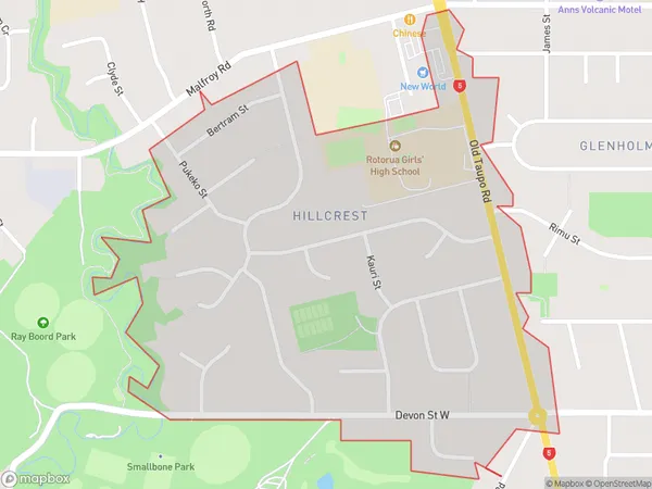
2078 people live in Hillcrest, Rotorua, NZHillcrest Suburb Area Map (Polygon)
Hillcrest Introduction
Hillcrest is a suburb of Rotorua, Bay of Plenty, New Zealand. It is known for its historic homes and gardens, including the Hillcrest Historic Reserve. The suburb also has a variety of recreational facilities, including a golf course, a swimming pool, and a sports complex. Hillcrest is located on the western side of Rotorua, and is bordered by the Rotorua Lake, the Redwoods Forest, and the Ohinemutu River.Region
Major City
Suburb Name
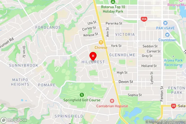
HillcrestHillcrest Area Map (Street)
Local Authority
Rotorua DistrictFull Address
Hillcrest, Rotorua District, New ZealandAddress Type
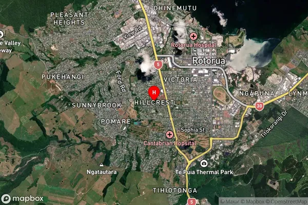
Suburb in City RotoruaHillcrest Suburb Map (Satellite)
Country
Main Region in AU
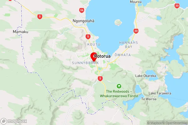
Bay of PlentyHillcrest Region Map
Coordinates
-38.1491803,176.2346793 (latitude/longitude)Distances
The distance from Hillcrest, Rotorua, Rotorua District to NZ Top 10 Cities