Glen Oroua Area, Glen Oroua Postcode(4473) & Map in Glen Oroua
Glen Oroua Area, Glen Oroua Postcode(4473) & Map in Glen Oroua, Manawatu District, New Zealand
Glen Oroua, Manawatu District, New Zealand
Glen Oroua Postcodes
Glen Oroua Area (estimated)
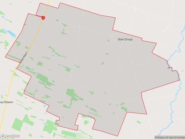
67.5 square kilometersGlen Oroua Population (estimated)
484 people live in Glen Oroua, Manawatu-Wanganui, NZGlen Oroua Suburb Area Map (Polygon)
Glen Oroua Introduction
Glen Oroua is a small rural community located in the Manawatu-Wanganui region of New Zealand. It is situated on the banks of the Oroua River and is known for its scenic beauty, including rolling hills, lush forests, and picturesque farmland. The community has a population of around 500 people and is home to a variety of businesses, including a primary school, a post office, and a small supermarket. The area is popular with outdoor enthusiasts, with many walking and hiking trails nearby, as well as fishing and hunting opportunities in the surrounding forests and rivers.Region
0Suburb Name
Glen OrouaOther Name(s)
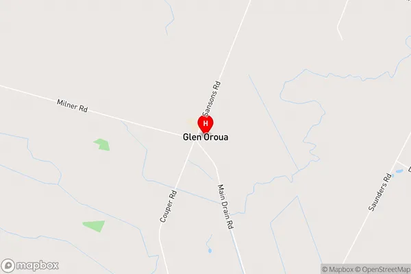
TaikoreaGlen Oroua Area Map (Street)
Local Authority
Manawatu DistrictFull Address
Glen Oroua, Manawatu District, New ZealandAddress Type
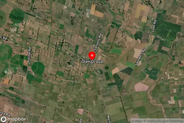
Locality in Major Locality Glen OrouaGlen Oroua Suburb Map (Satellite)
Country
Main Region in AU
Manawatu-WanganuiGlen Oroua Region Map

Coordinates
-40.3320358,175.4127681 (latitude/longitude)Distances
The distance from Glen Oroua, Glen Oroua, Manawatu District to NZ Top 10 Cities