John Creek Area, John Creek Postcode(9300) & Map in John Creek
John Creek Area, John Creek Postcode(9300) & Map in John Creek, Queenstown-Lakes District, New Zealand
John Creek, Queenstown-Lakes District, New Zealand
John Creek Postcodes
John Creek Area (estimated)
105.0 square kilometersJohn Creek Population (estimated)
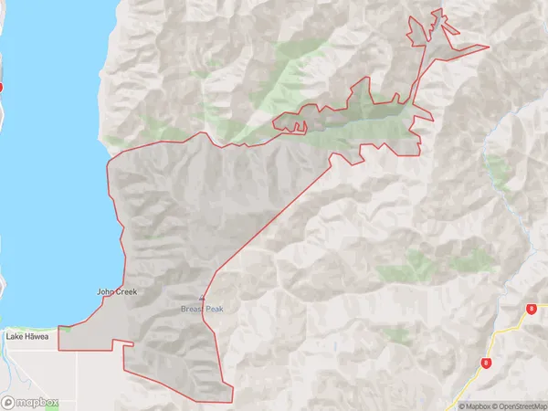
35 people live in John Creek, Otago, NZJohn Creek Suburb Area Map (Polygon)
John Creek Introduction
John Creek is a small, shallow, and scenic lake located in the Mount Aspiring National Park in Otago, New Zealand. It is surrounded by stunning mountain scenery and is a popular spot for hiking, camping, and fishing. The lake is fed by the John Creek River, which originates from the nearby Mount Aspiring Peak. The lake's crystal-clear waters are home to a variety of fish species, including rainbow trout, brown trout, and perch.Region
Major City
Suburb Name
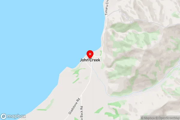
John CreekJohn Creek Area Map (Street)
Local Authority
Queenstown-Lakes DistrictFull Address
John Creek, Queenstown-Lakes District, New ZealandAddress Type
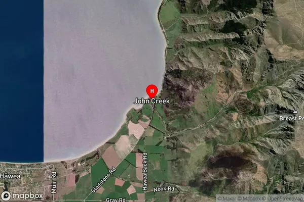
Locality in Town Lake HaweaJohn Creek Suburb Map (Satellite)
Country
Main Region in AU
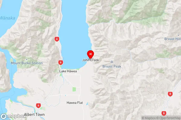
OtagoJohn Creek Region Map
Coordinates
-44.5945048,169.3151074 (latitude/longitude)Distances
The distance from John Creek, Lake Hawea, Queenstown-Lakes District to NZ Top 10 Cities