Fernhill Area, Fernhill Postcode(4175) & Map in Fernhill
Fernhill Area, Fernhill Postcode(4175) & Map in Fernhill, Hastings District, New Zealand
Fernhill, Hastings District, New Zealand
Fernhill Postcodes
Fernhill Area (estimated)
27.5 square kilometersFernhill Population (estimated)
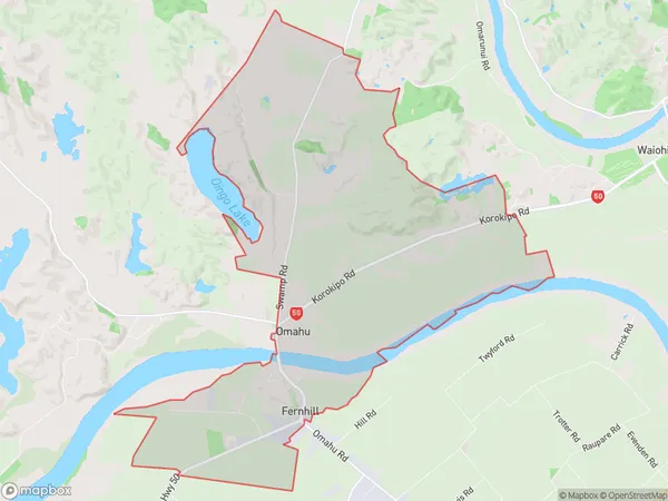
561 people live in Fernhill, Hawke's Bay, NZFernhill Suburb Area Map (Polygon)
Fernhill Introduction
Fernhill is a suburb of Napier, Hawke's Bay, New Zealand. It is located on the eastern side of the city, between the Ahuriri Estuary and the Pacific Ocean. The suburb has a population of around 2,000 people and is known for its historic homes and gardens. Fernhill was established in the 1880s and was named after a fern-covered hill in the area. The suburb has a variety of shops, cafes, and restaurants, as well as a community center and library.Region
Major City
Suburb Name
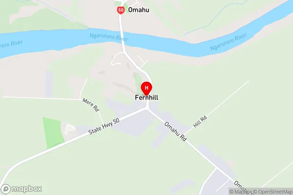
FernhillFernhill Area Map (Street)
Local Authority
Hastings DistrictFull Address
Fernhill, Hastings District, New ZealandAddress Type
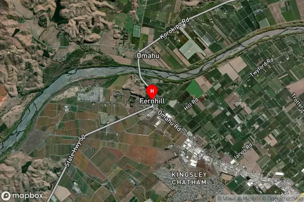
Locality in City NapierFernhill Suburb Map (Satellite)
Country
Main Region in AU
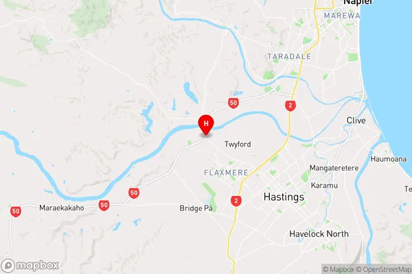
Hawke's BayFernhill Region Map
Coordinates
-39.5956512,176.7653746 (latitude/longitude)Distances
The distance from Fernhill, Napier, Hastings District to NZ Top 10 Cities