Dillmanstown Area, Dillmanstown Postcode(7832) & Map in Dillmanstown
Dillmanstown Area, Dillmanstown Postcode(7832) & Map in Dillmanstown, Westland District, New Zealand
Dillmanstown, Westland District, New Zealand
Dillmanstown Postcodes
Dillmanstown Area (estimated)
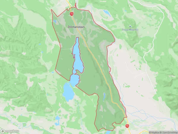
38.4 square kilometersDillmanstown Population (estimated)
47 people live in Dillmanstown, West Coast, NZDillmanstown Suburb Area Map (Polygon)
Dillmanstown Introduction
Dillmanstown is a small rural community on the West Coast of New Zealand's South Island. It is located in the Grey District and is known for its scenic surroundings, including the Dillmanstown Forest Park. The community has a primary school, a post office, and a small supermarket. It is surrounded by farmland and is a popular destination for outdoor activities such as hiking, skiing, and fishing.Region
Major City
Suburb Name
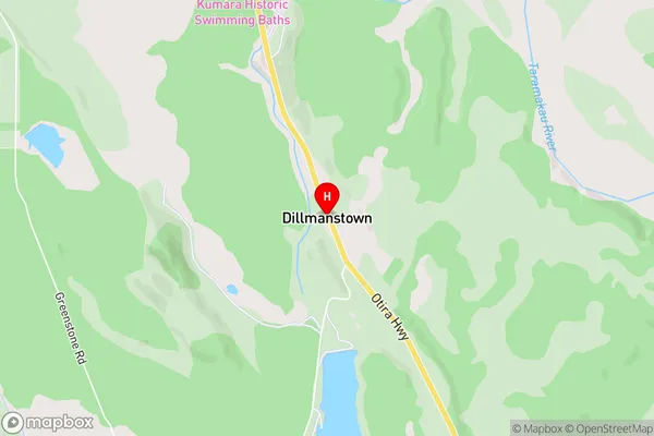
DillmanstownDillmanstown Area Map (Street)
Local Authority
Westland DistrictFull Address
Dillmanstown, Westland District, New ZealandAddress Type
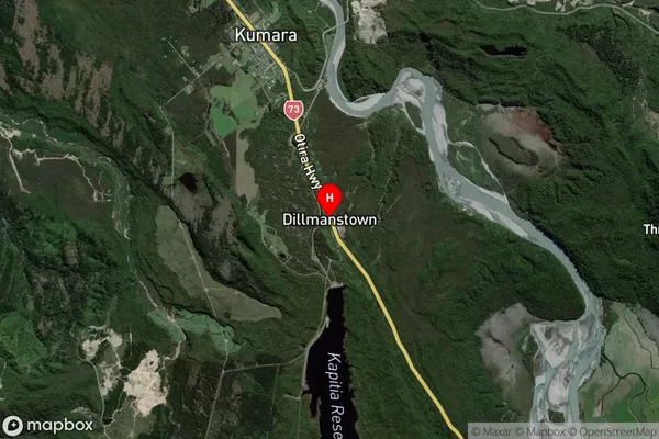
Suburb in Town GreymouthDillmanstown Suburb Map (Satellite)
Country
Main Region in AU
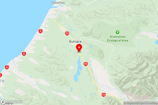
West CoastDillmanstown Region Map
Coordinates
-42.6511309,171.1968827 (latitude/longitude)Distances
The distance from Dillmanstown, Greymouth, Westland District to NZ Top 10 Cities