Dalefield Area, Dalefield Postcode(9300) & Map in Dalefield
Dalefield Area, Dalefield Postcode(9300) & Map in Dalefield, Queenstown-Lakes District, New Zealand
Dalefield, Queenstown-Lakes District, New Zealand
Dalefield Postcodes
Dalefield Area (estimated)
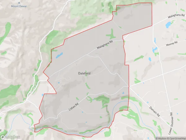
17.8 square kilometersDalefield Population (estimated)
374 people live in Dalefield, Otago, NZDalefield Suburb Area Map (Polygon)
Dalefield Introduction
Dalefield is a small residential area in Queenstown, Otago, New Zealand. It is located on the southern shore of Lake Wakatipu, about 5 kilometers from the city center. The area is known for its scenic views, peaceful atmosphere, and luxurious homes. Dalefield has a population of around 2,000 people and is a popular destination for tourists and locals alike.Region
0Suburb Name
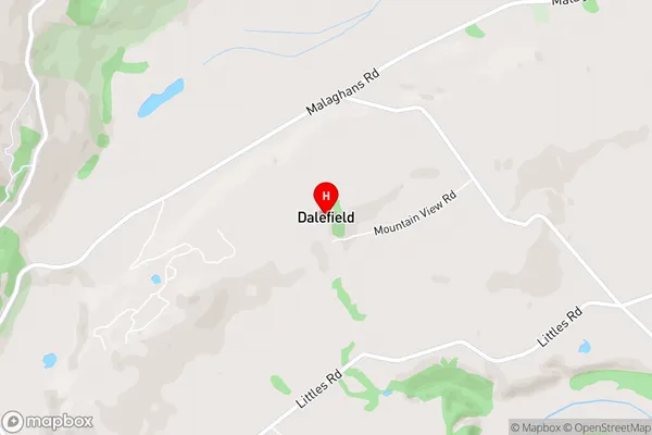
DalefieldDalefield Area Map (Street)
Local Authority
Queenstown-Lakes DistrictFull Address
Dalefield, Queenstown-Lakes District, New ZealandAddress Type
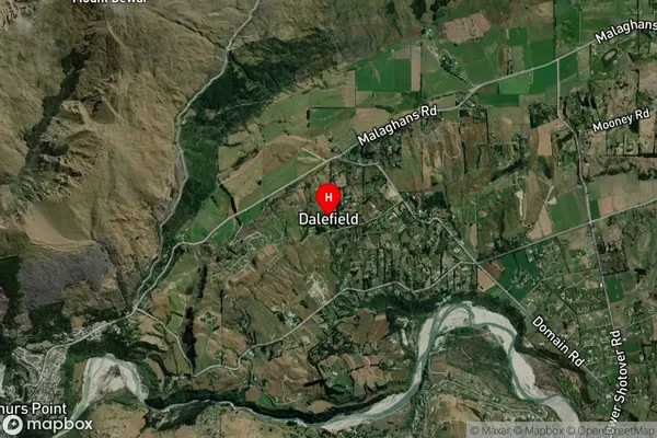
Locality in Town QueenstownDalefield Suburb Map (Satellite)
Country
Main Region in AU
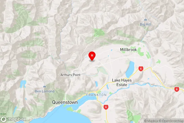
OtagoDalefield Region Map
Coordinates
-44.967951,168.7216048 (latitude/longitude)Distances
The distance from Dalefield, Queenstown, Queenstown-Lakes District to NZ Top 10 Cities