Cromwell Area, Cromwell Postcode(9310) & Map in Cromwell
Cromwell Area, Cromwell Postcode(9310) & Map in Cromwell, Central Otago District, New Zealand
Cromwell, Central Otago District, New Zealand
Cromwell Area (estimated)
68.2 square kilometersCromwell Population (estimated)
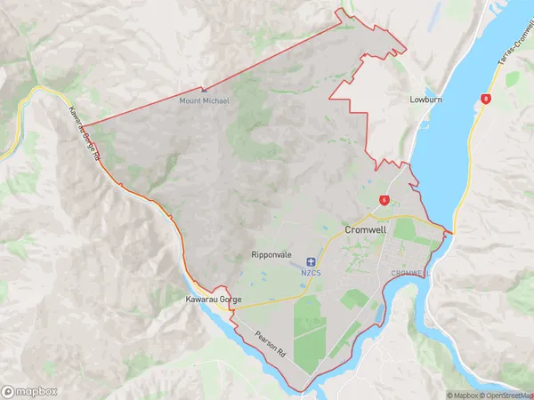
7399 people live in Cromwell, Otago, NZCromwell Suburb Area Map (Polygon)
Cromwell Introduction
Cromwell is a small town in Otago, New Zealand, located on the banks of the Clutha River. It was founded in 1865 by Scottish settlers and is known for its historic buildings and scenic surroundings. The town has a population of around 2,000 people and is a popular tourist destination.Region
Major City
Suburb Name
CromwellOther Name(s)
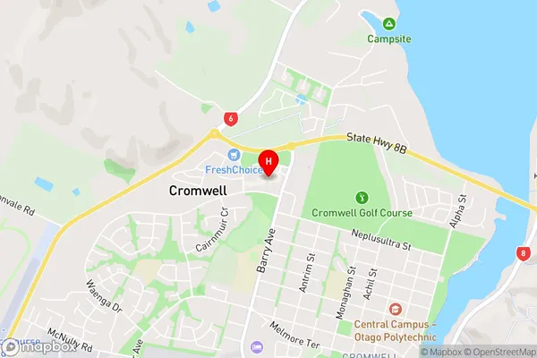
Lake Dunstan Estate, RipponvaleCromwell Area Map (Street)
Local Authority
Central Otago DistrictFull Address
Cromwell, Central Otago District, New ZealandAddress Type
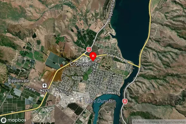
Suburb in Town CromwellCromwell Suburb Map (Satellite)
Country
Main Region in AU
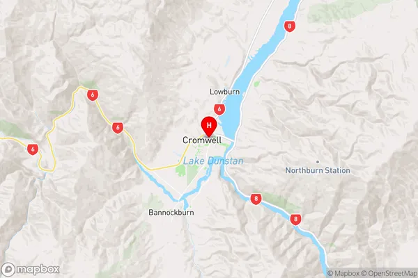
OtagoCromwell Region Map
Coordinates
-45.0371308,169.1972881 (latitude/longitude)Distances
The distance from Cromwell, Cromwell, Central Otago District to NZ Top 10 Cities