Castle Hill Area, Castle Hill Postcode(7580) & Map in Castle Hill
Castle Hill Area, Castle Hill Postcode(7580) & Map in Castle Hill, Selwyn District, New Zealand
Castle Hill, Selwyn District, New Zealand
Castle Hill Postcodes
Castle Hill Area (estimated)
-1.2 square kilometersCastle Hill Population (estimated)
54 people live in Castle Hill, Canterbury, NZCastle Hill Suburb Area Map (Polygon)
Not available for nowCastle Hill Introduction
Castle Hill is a historic hilltop area in Christchurch, New Zealand, known for its medieval castle ruins and panoramic views of the city. It is a popular tourist attraction and a significant part of the city's cultural heritage.Region
0Suburb Name
Castle HillOther Name(s)
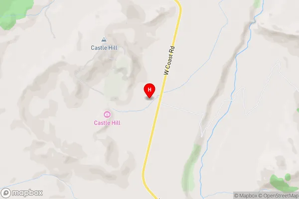
Castle Hill Village, ColeridgeCastle Hill Area Map (Street)
Local Authority
Selwyn DistrictFull Address
Castle Hill, Selwyn District, New ZealandAddress Type
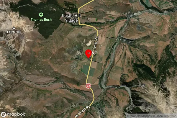
Locality in Major Locality Castle HillCastle Hill Suburb Map (Satellite)
Country
Main Region in AU
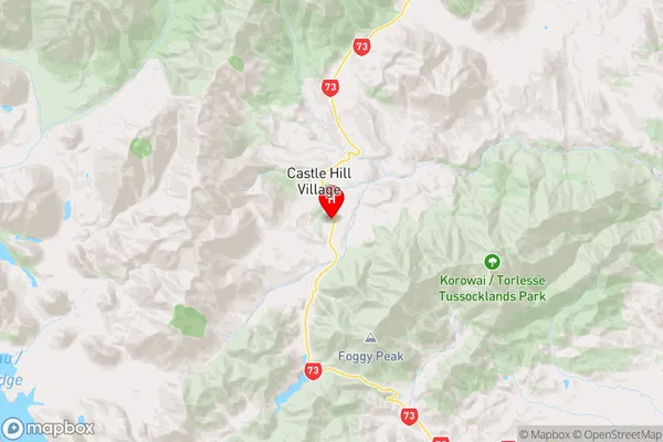
CanterburyCastle Hill Region Map
Coordinates
-43.2264798,171.7235653 (latitude/longitude)Distances
The distance from Castle Hill, Castle Hill, Selwyn District to NZ Top 10 Cities