Baverstock Area, Baverstock Postcode(3200) & Map in Baverstock, Hamilton City
Baverstock Area, Baverstock Postcode(3200) & Map in Baverstock, Hamilton City, Waikato District, New Zealand
Baverstock, Hamilton City, Waikato District, New Zealand
Baverstock Postcodes
Baverstock Area (estimated)
2.3 square kilometersBaverstock Population (estimated)
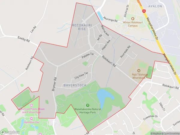
553 people live in Baverstock, Hamilton, NZBaverstock Suburb Area Map (Polygon)
Baverstock Introduction
Baverstock is a small rural community in Hamilton, Waikato, New Zealand. It is located on State Highway 1, approximately 20 km south of Hamilton City. The area was first settled in the 1860s and has a rich history of farming and forestry. The community has a primary school, a church, and a small supermarket. Baverstock is known for its scenic countryside and peaceful atmosphere, and is a popular destination for outdoor activities such as hiking, cycling, and fishing.Region
Major City
Suburb Name
BaverstockOther Name(s)
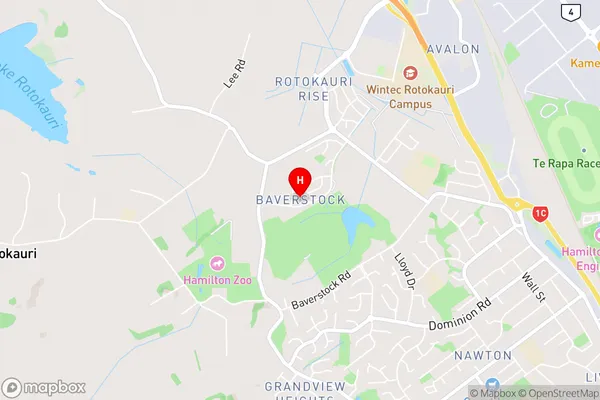
Avalon IndustrialBaverstock Area Map (Street)
Local Authority
Hamilton City, Waikato DistrictFull Address
Baverstock, Hamilton City, Waikato District, New ZealandAddress Type
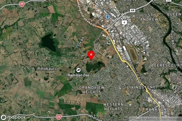
Locality in City HamiltonBaverstock Suburb Map (Satellite)
Country
Main Region in AU
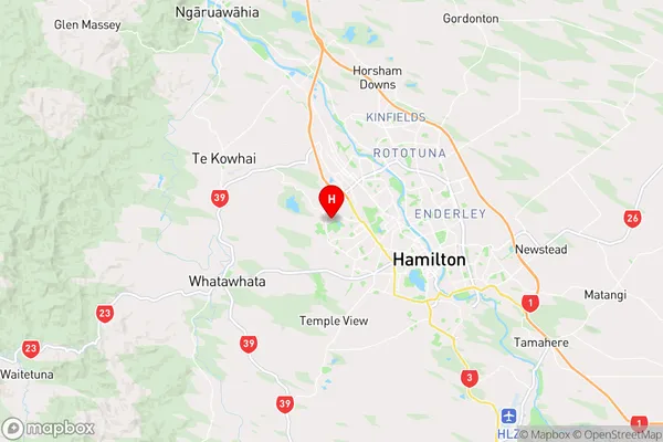
WaikatoBaverstock Region Map
Coordinates
-37.7689846,175.2211691 (latitude/longitude)Distances
The distance from Baverstock, Hamilton, Hamilton City, Waikato District to NZ Top 10 Cities