Waimatuku Area, Waimatuku Postcode & Map in Waimatuku
Waimatuku Area, Waimatuku Postcode & Map in Waimatuku, Southland District, New Zealand
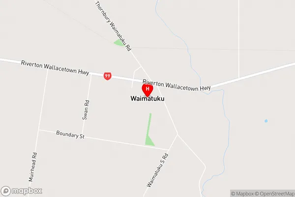
Waimatuku, Southland District, New Zealand
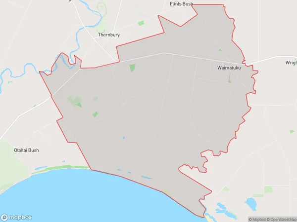
Waimatuku Area (estimated)
54.3 square kilometersWaimatuku Population (estimated)
148 people live in Waimatuku, Southland, NZWaimatuku Suburb Area Map (Polygon)
Waimatuku Introduction
Waimatuku is a small rural community in Southland, New Zealand, located on the banks of the Waimatuku River. It is known for its scenic beauty, with lush green forests and rolling hills surrounding the town. The community has a strong agricultural heritage, with many farms and orchards in the area. Waimatuku also has a popular golf course and a small museum that showcases the history and culture of the region.Region
0Suburb Name
WaimatukuWaimatuku Area Map (Street)
Local Authority
Southland DistrictFull Address
Waimatuku, Southland District, New ZealandAddress Type
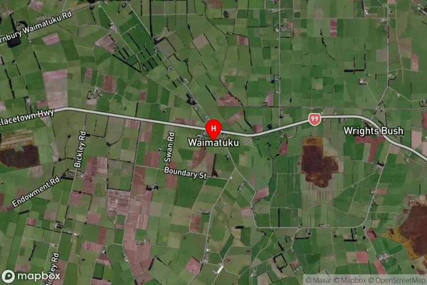
Locality in Town Riverton/AparimaWaimatuku Suburb Map (Satellite)
Country
Main Region in AU
SouthlandWaimatuku Region Map

Coordinates
-46.3010026,168.1631588 (latitude/longitude)Distances
The distance from Waimatuku, Riverton/Aparima, Southland District to NZ Top 10 Cities