Chain Hills Area, Chain Hills Postcode(9053) & Map in Chain Hills
Chain Hills Area, Chain Hills Postcode(9053) & Map in Chain Hills, Dunedin City, New Zealand
Chain Hills, Dunedin City, New Zealand
Chain Hills Area (estimated)
5.0 square kilometersChain Hills Population (estimated)
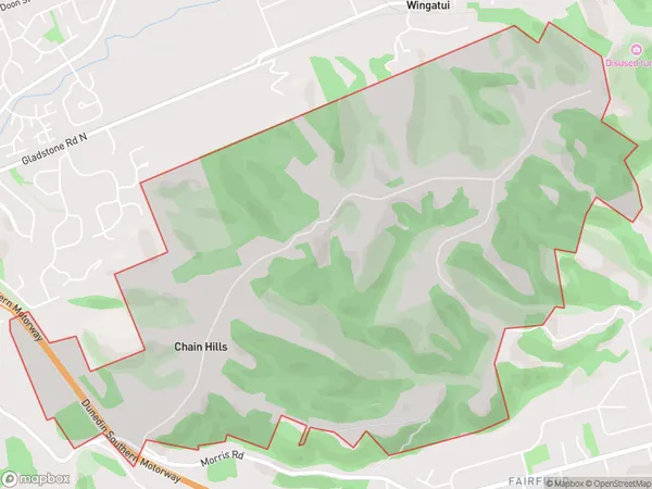
239 people live in Chain Hills, Otago, NZChain Hills Suburb Area Map (Polygon)
Chain Hills Introduction
Chain Hills is a prominent hill range located in Dunedin, Otago, New Zealand. It is known for its stunning panoramic views of the city, harbor, and surrounding areas. The hills are a popular destination for hiking, mountain biking, and picnicking, and offer a range of recreational activities. The area is also home to a variety of wildlife, including kea, tui, and falcons.Region
Major City
Suburb Name
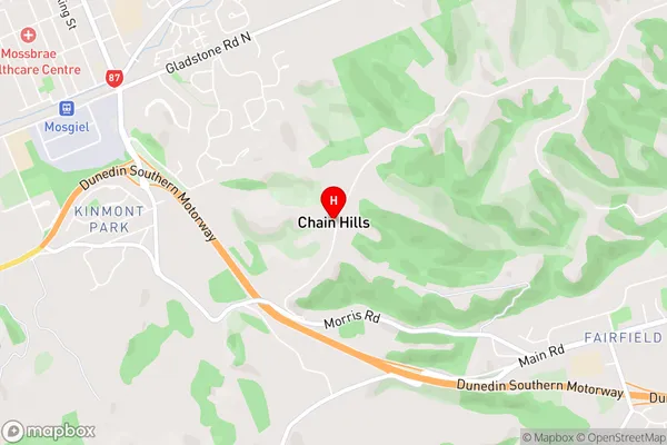
Chain HillsChain Hills Area Map (Street)
Local Authority
Dunedin CityFull Address
Chain Hills, Dunedin City, New ZealandAddress Type
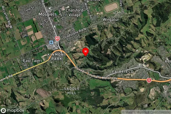
Suburb in City DunedinChain Hills Suburb Map (Satellite)
Country
Main Region in AU
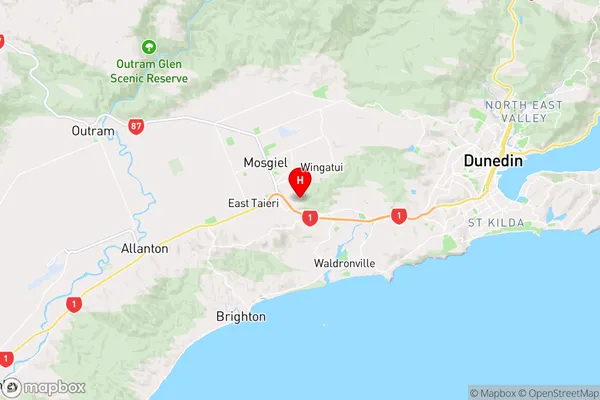
OtagoChain Hills Region Map
Coordinates
-45.8929046,170.3710198 (latitude/longitude)Distances
The distance from Chain Hills, Dunedin, Dunedin City to NZ Top 10 Cities