Te Oka Area, Te Oka Postcode(8011) & Map in Te Oka
Te Oka Area, Te Oka Postcode(8011) & Map in Te Oka, Christchurch City, New Zealand
Te Oka, Christchurch City, New Zealand
Te Oka Postcodes
Te Oka Area (estimated)
33.0 square kilometersTe Oka Population (estimated)
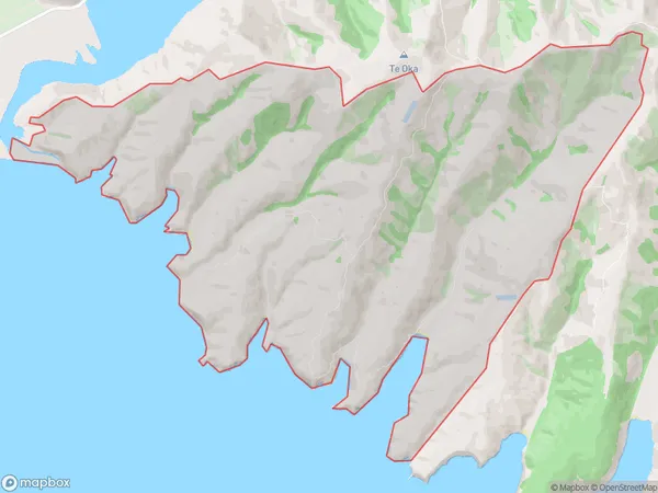
25 people live in Te Oka, Banks Peninsula Community, NZTe Oka Suburb Area Map (Polygon)
Te Oka Introduction
Te Oka, Little River, Canterbury, New Zealand, is a small rural community located on the banks of the Little River. It is known for its picturesque scenery, including rolling hills, lush green fields, and the Little River flowing through the area. The community has a population of around 100 people and is home to a variety of businesses, including a hotel, a convenience store, and a farm. Te Oka is also a popular destination for outdoor enthusiasts, with many walking and hiking trails nearby.Region
Major City
Suburb Name
Te OkaOther Name(s)
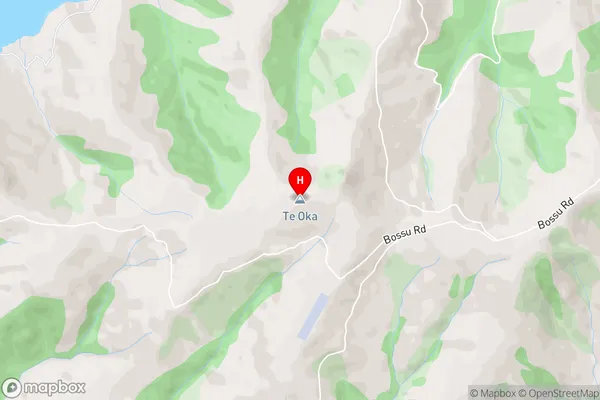
Southern BaysTe Oka Area Map (Street)
Local Authority
Christchurch CityFull Address
Te Oka, Christchurch City, New ZealandAddress Type
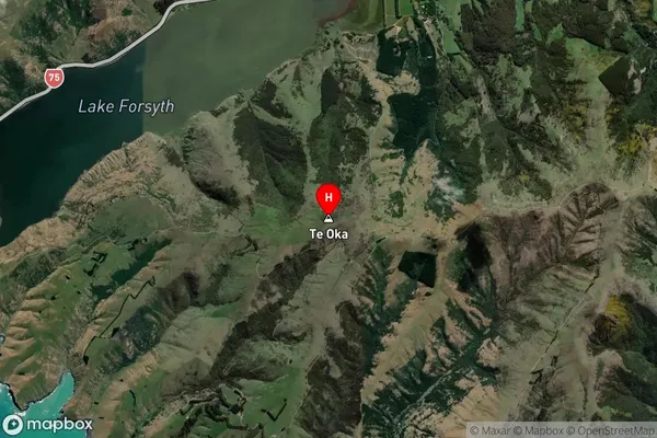
Locality in Major Locality Little RiverTe Oka Suburb Map (Satellite)
Country
Main Region in AU
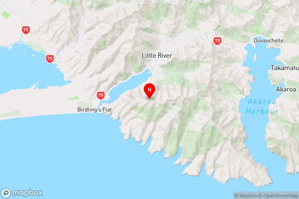
CanterburyTe Oka Region Map
Coordinates
-43.8141898,172.7806693 (latitude/longitude)Distances
The distance from Te Oka, Little River, Christchurch City to NZ Top 10 Cities