Snowdon Area, Snowdon Postcode(7240) & Map in Snowdon
Snowdon Area, Snowdon Postcode(7240) & Map in Snowdon, Selwyn District, New Zealand
Snowdon, Selwyn District, New Zealand
Snowdon Postcodes
Snowdon Area (estimated)
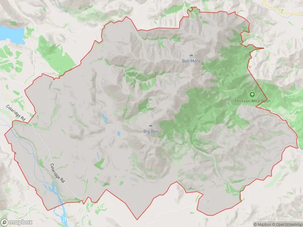
220.8 square kilometersSnowdon Population (estimated)
28 people live in Snowdon, Marlborough, NZSnowdon Suburb Area Map (Polygon)
Snowdon Introduction
Snowdon is a small township in the Marlborough region of New Zealand. It is situated on State Highway 1, between Blenheim and Renwick. The township has a population of around 100 people and is known for its scenic surroundings, including the nearby Lake Coleridge and the Snowdon Forest. The area is popular with outdoor enthusiasts and tourists, who enjoy hiking, fishing, and skiing in the nearby mountains.Region
0Suburb Name
SnowdonOther Name(s)
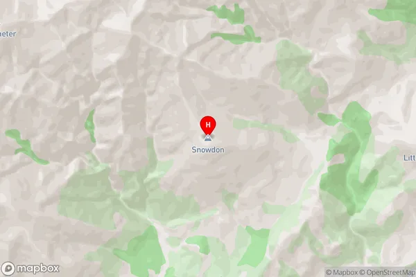
Coleridge, Malvern HillsSnowdon Area Map (Street)
Local Authority
Selwyn DistrictFull Address
Snowdon, Selwyn District, New ZealandAddress Type
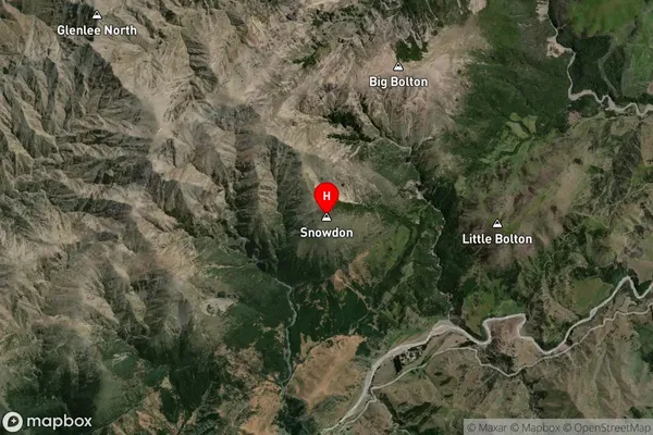
Locality in Major Locality Lake ColeridgeSnowdon Suburb Map (Satellite)
Country
Main Region in AU
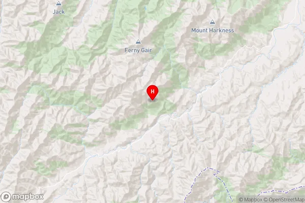
MarlboroughSnowdon Region Map
Coordinates
-41.8407604,173.6711476 (latitude/longitude)Distances
The distance from Snowdon, Lake Coleridge, Selwyn District to NZ Top 10 Cities