Kakapotahi Area, Kakapotahi Postcode(7885) & Map in Kakapotahi
Kakapotahi Area, Kakapotahi Postcode(7885) & Map in Kakapotahi, Westland District, New Zealand
Kakapotahi, Westland District, New Zealand
Kakapotahi Postcodes
Kakapotahi Area (estimated)
700.1 square kilometersKakapotahi Population (estimated)
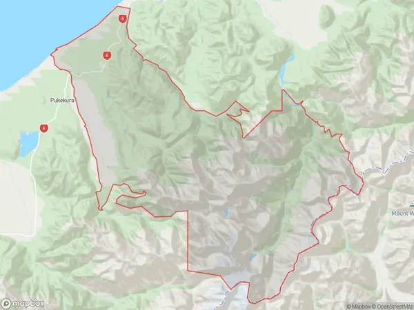
90 people live in Kakapotahi, West Coast, NZKakapotahi Suburb Area Map (Polygon)
Kakapotahi Introduction
Kakapotahi is a small settlement on the West Coast of New Zealand's South Island. It is located in the Grey District and is near the Kakapotahi River. The settlement has a population of around 100 people and is known for its scenic surroundings and outdoor activities such as hiking, fishing, and hunting. The area is also home to a number of historic buildings, including a church and a school.Region
Major City
Suburb Name
KakapotahiOther Name(s)
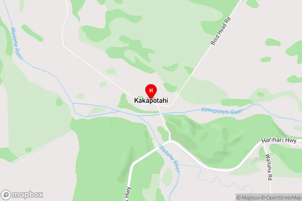
Fergusons, WaitahaKakapotahi Area Map (Street)
Local Authority
Westland DistrictFull Address
Kakapotahi, Westland District, New ZealandAddress Type
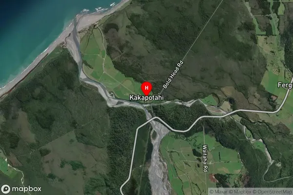
Locality in Major Locality RossKakapotahi Suburb Map (Satellite)
Country
Main Region in AU
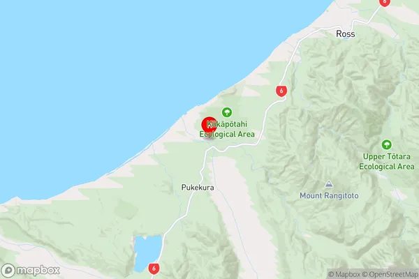
West CoastKakapotahi Region Map
Coordinates
-42.9746639,170.6835242 (latitude/longitude)Distances
The distance from Kakapotahi, Ross, Westland District to NZ Top 10 Cities