Jacksons Area, Jacksons Postcode & Map in Jacksons
Jacksons Area, Jacksons Postcode & Map in Jacksons, Westland District, New Zealand
Jacksons, Westland District, New Zealand
Jacksons Area (estimated)
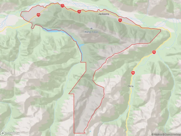
106.9 square kilometersJacksons Population (estimated)
12 people live in Jacksons, West Coast, NZJacksons Suburb Area Map (Polygon)
Jacksons Introduction
Jackson's, Inchbonnie, West Coast, New Zealand, is a small rural community located in the West Coast region of the South Island. It is known for its scenic surroundings, including the rugged coastline and nearby forests. The community has a primary school, a post office, and a small supermarket. The area is popular with outdoor enthusiasts, with many opportunities for hiking, fishing, and hunting.Region
0Suburb Name
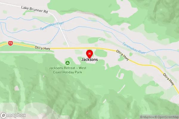
JacksonsJacksons Area Map (Street)
Local Authority
Westland DistrictFull Address
Jacksons, Westland District, New ZealandAddress Type
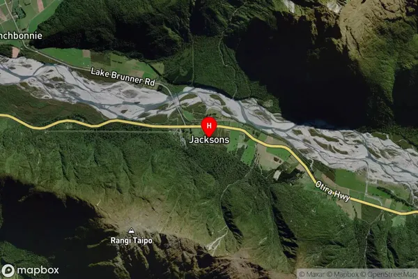
Locality in Major Locality InchbonnieJacksons Suburb Map (Satellite)
Country
Main Region in AU
West CoastJacksons Region Map

Coordinates
-42.7461552,171.5193096 (latitude/longitude)Distances
The distance from Jacksons, Inchbonnie, Westland District to NZ Top 10 Cities