Haupiri Area, Haupiri Postcode & Map in Haupiri
Haupiri Area, Haupiri Postcode & Map in Haupiri, Grey District, New Zealand
Haupiri, Grey District, New Zealand
Haupiri Area (estimated)
322.8 square kilometersHaupiri Population (estimated)
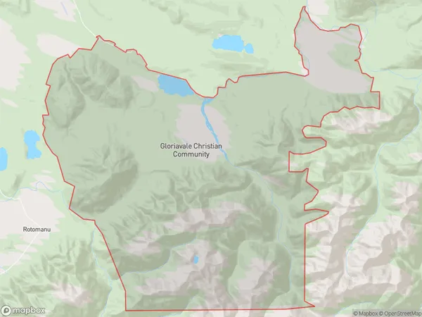
732 people live in Haupiri, West Coast, NZHaupiri Suburb Area Map (Polygon)
Haupiri Introduction
Haupiri is a small rural community on the West Coast of New Zealand's South Island. It is located in the Grey District and is known for its stunning natural surroundings, including the Haupiri Forest and the Haupiri River. The community has a population of around 100 people and is home to a primary school, a church, and a few small businesses. Haupiri is a popular destination for outdoor enthusiasts, with many hiking and tramping tracks in the area. The community is also close to the popular West Coast beaches and the town of Greymouth.Region
Major City
Suburb Name
HaupiriOther Name(s)
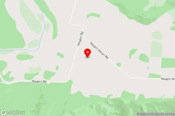
KoparaHaupiri Area Map (Street)
Local Authority
Grey DistrictFull Address
Haupiri, Grey District, New ZealandAddress Type
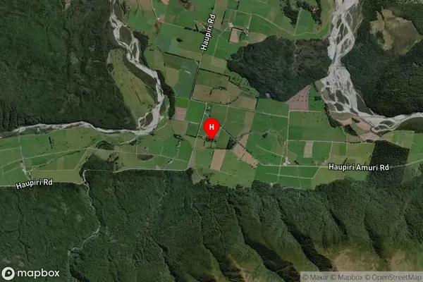
Locality in Major Locality MoanaHaupiri Suburb Map (Satellite)
Country
Main Region in AU
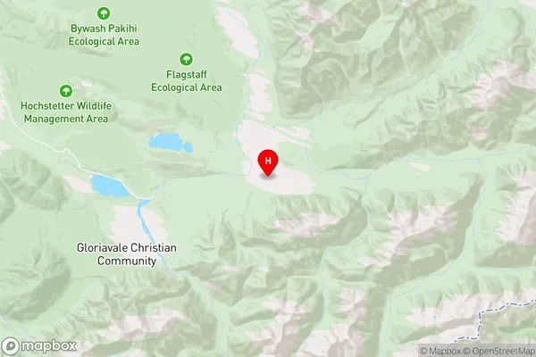
West CoastHaupiri Region Map
Coordinates
-42.5630234,171.811758 (latitude/longitude)Distances
The distance from Haupiri, Moana, Grey District to NZ Top 10 Cities