Gibbston Area, Gibbston Postcode(9384) & Map in Gibbston, Central Otago District
Gibbston Area, Gibbston Postcode(9384) & Map in Gibbston, Central Otago District, Queenstown-Lakes District, New Zealand
Gibbston, Central Otago District, Queenstown-Lakes District, New Zealand
Gibbston Postcodes
Gibbston Area (estimated)
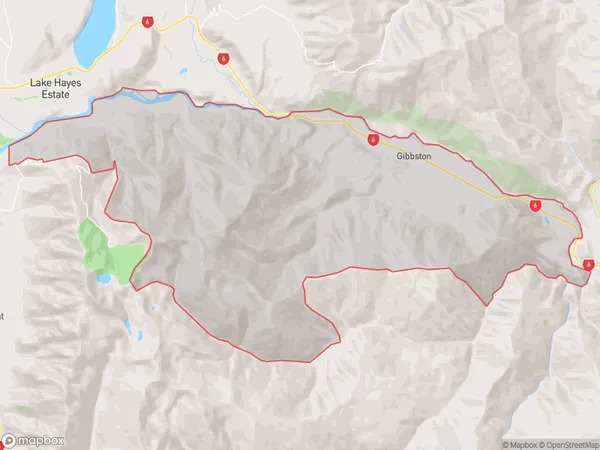
127.6 square kilometersGibbston Population (estimated)
282 people live in Gibbston, Otago, NZGibbston Suburb Area Map (Polygon)
Gibbston Introduction
Gibbston is a small town in Central Otago, New Zealand, known for its wine-growing region. It is located at the foot of the Kawarau Gorge, and the Gibbston Valley Winery is a popular tourist attraction. The town has a historic stone church and a variety of shops and cafes.Region
Major City
Suburb Name
GibbstonOther Name(s)
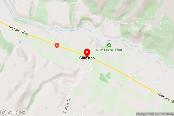
Otago GoldfieldsGibbston Area Map (Street)
Local Authority
Central Otago District, Queenstown-Lakes DistrictFull Address
Gibbston, Central Otago District, Queenstown-Lakes District, New ZealandAddress Type
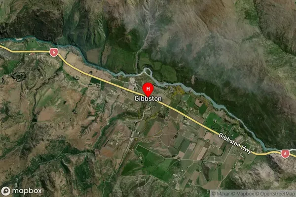
Locality in Town QueenstownGibbston Suburb Map (Satellite)
Country
Main Region in AU
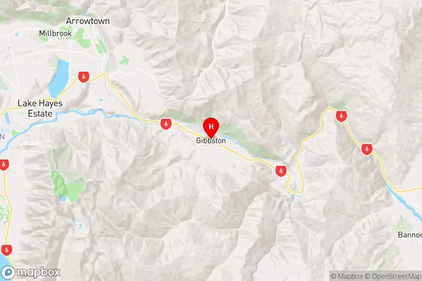
OtagoGibbston Region Map
Coordinates
-45.0232944,168.9552426 (latitude/longitude)Distances
The distance from Gibbston, Queenstown, Central Otago District, Queenstown-Lakes District to NZ Top 10 Cities