Frankton Area, Frankton Postcode(9300) & Map in Frankton
Frankton Area, Frankton Postcode(9300) & Map in Frankton, Queenstown-Lakes District, New Zealand
Frankton, Queenstown-Lakes District, New Zealand
Frankton Area (estimated)
9.3 square kilometersFrankton Population (estimated)
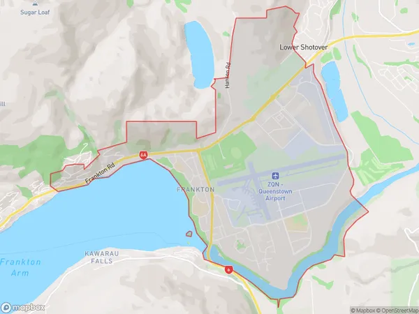
3843 people live in Frankton, Otago, NZFrankton Suburb Area Map (Polygon)
Frankton Introduction
Frankton is a small township located in the Queenstown-Lakes District of Otago, New Zealand. It is situated on the banks of the Shotover River and is a popular tourist destination for its scenic views and outdoor activities. The township was named after Frankton, England, and was founded in 1865. It is home to a variety of businesses and services, including hotels, restaurants, and a supermarket. Frankton also has a primary school, a post office, and a community hall.Region
Major City
Suburb Name
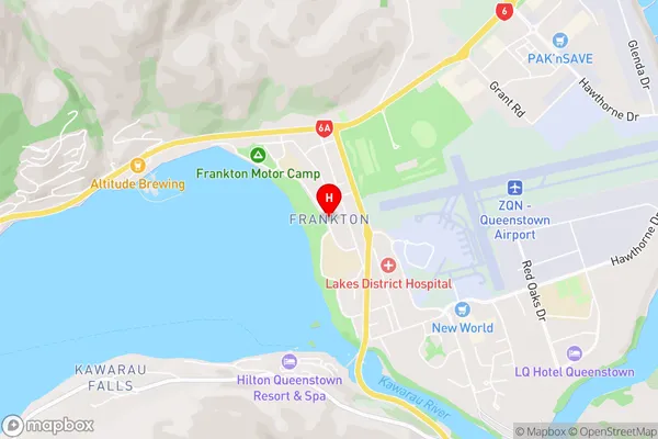
FranktonFrankton Area Map (Street)
Local Authority
Queenstown-Lakes DistrictFull Address
Frankton, Queenstown-Lakes District, New ZealandAddress Type
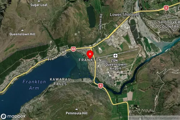
Suburb in Town QueenstownFrankton Suburb Map (Satellite)
Country
Main Region in AU
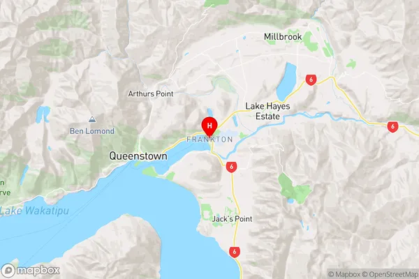
OtagoFrankton Region Map
Coordinates
-45.0207925,168.731096 (latitude/longitude)Distances
The distance from Frankton, Queenstown, Queenstown-Lakes District to NZ Top 10 Cities