Doubtful Range Area, Doubtful Range Postcode & Map in Doubtful Range
Doubtful Range Area, Doubtful Range Postcode & Map in Doubtful Range, Hurunui District,
Doubtful Range, Hurunui District,
Doubtful Range Area (estimated)
29.0 square kilometersDoubtful Range Population (estimated)
1 people live in Doubtful Range, Hanmer Springs, NZDoubtful Range Suburb Area Map (Polygon)
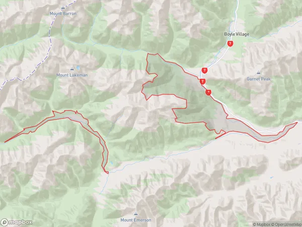
Doubtful Range Introduction
The Doubtful Range is a mountain range located in the Canterbury region of New Zealand. It is known for its stunning natural beauty, including hot springs, waterfalls, and panoramic views. The range is a popular destination for outdoor enthusiasts, with many hiking and skiing trails. The area is also home to a variety of wildlife, including kea, tui, and mountain parrots.Region
Major City
Suburb Name
Doubtful RangeDoubtful Range Area Map (Street)
Local Authority
Hurunui DistrictFull Address
Doubtful Range, Hurunui District,Address Type
Locality in Town Hanmer SpringsDoubtful Range Suburb Map (Satellite)
Country
Main Region in AU
CanterburyDoubtful Range Region Map
Coordinates
0,0 (latitude/longitude)Distances
The distance from Doubtful Range, Hanmer Springs, Hurunui District to NZ Top 10 Cities