Denniston Area, Denniston Postcode & Map in Denniston
Denniston Area, Denniston Postcode & Map in Denniston, Buller District, New Zealand
Denniston, Buller District, New Zealand
Denniston Area (estimated)
263.4 square kilometersDenniston Population (estimated)
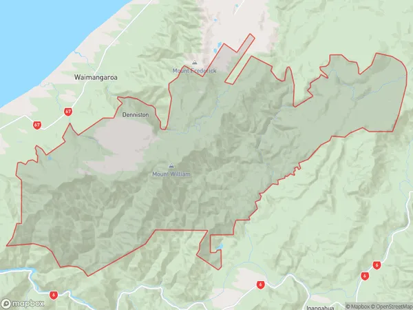
10 people live in Denniston, West Coast, NZDenniston Suburb Area Map (Polygon)
Denniston Introduction
Denniston is a small town on the West Coast of New Zealand's South Island. It is known for its coal mining and is the gateway to the scenic Grey Valley and the Pancake Rocks. The town has a population of around 2,000 people and is located at the mouth of the Grey River.Region
Major City
Suburb Name
DennistonOther Name(s)
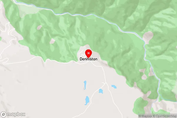
Burnetts Face, Lower BullerDenniston Area Map (Street)
Local Authority
Buller DistrictFull Address
Denniston, Buller District, New ZealandAddress Type
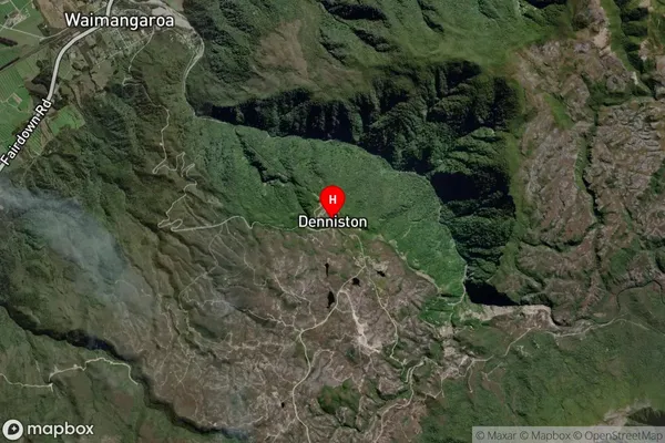
Locality in Town WestportDenniston Suburb Map (Satellite)
Country
Main Region in AU
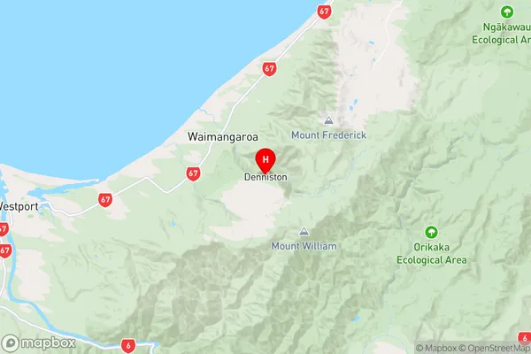
West CoastDenniston Region Map
Coordinates
-41.7372136,171.7973765 (latitude/longitude)Distances
The distance from Denniston, Westport, Buller District to NZ Top 10 Cities