Dean Area, Dean Postcode & Map in Dean
Dean Area, Dean Postcode & Map in Dean, Southland District,
Dean, Southland District,
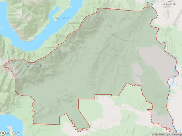
Dean Area (estimated)
322.2 square kilometersDean Population (estimated)
37 people live in Dean, Tuatapere, NZDean Suburb Area Map (Polygon)
Dean Introduction
Dean is a small rural town in Southland, New Zealand, located on the banks of the Tuatapere River. It is known for its scenic surroundings, including the Tuatapere Forest Park and the nearby Mount Owen. The town has a population of around 1,000 people and is a popular destination for outdoor enthusiasts and tourists.Region
Major City
Suburb Name
DeanDean Area Map (Street)
Local Authority
Southland DistrictFull Address
Dean, Southland District,Address Type
Locality in Town TuatapereDean Suburb Map (Satellite)
Country
Main Region in AU
SouthlandDean Region Map
Coordinates
0,0 (latitude/longitude)Distances
The distance from Dean, Tuatapere, Southland District to NZ Top 10 Cities