Clarendon Area, Clarendon Postcode(9291) & Map in Clarendon
Clarendon Area, Clarendon Postcode(9291) & Map in Clarendon, Clutha District, New Zealand
Clarendon, Clutha District, New Zealand
Clarendon Postcodes
Clarendon Area (estimated)
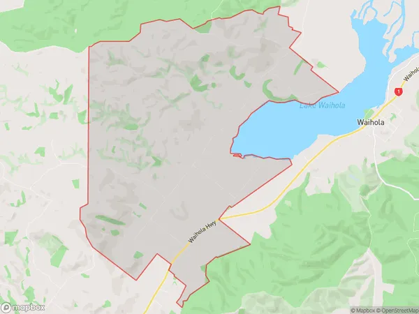
36.8 square kilometersClarendon Population (estimated)
100 people live in Clarendon, Otago, NZClarendon Suburb Area Map (Polygon)
Clarendon Introduction
Clarendon is a small town in Otago, New Zealand, located on the banks of the Clutha River. It was established in 1861 and is known for its historic buildings and scenic surroundings. The town has a population of around 1,200 people and is a popular tourist destination. It is also home to a variety of industries, including farming, forestry, and manufacturing.Region
Major City
Suburb Name
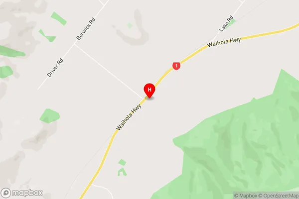
ClarendonClarendon Area Map (Street)
Local Authority
Clutha DistrictFull Address
Clarendon, Clutha District, New ZealandAddress Type
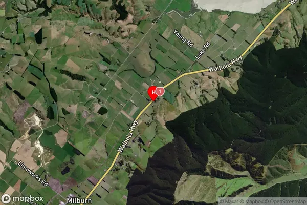
Locality in Town MiltonClarendon Suburb Map (Satellite)
Country
Main Region in AU
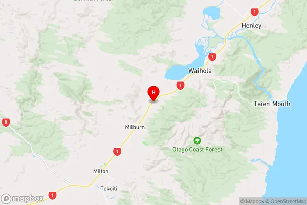
OtagoClarendon Region Map
Coordinates
-46.052981,170.0332117 (latitude/longitude)Distances
The distance from Clarendon, Milton, Clutha District to NZ Top 10 Cities