Christchurch Central Area, Christchurch Central Postcode(8011) & Map in Christchurch Central
Christchurch Central Area, Christchurch Central Postcode(8011) & Map in Christchurch Central, Christchurch City,
Christchurch Central, Christchurch City,
Christchurch Central Area (estimated)
7.7 square kilometersChristchurch Central Population (estimated)
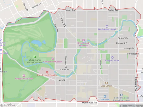
8295 people live in Christchurch Central, Christchurch, NZChristchurch Central Suburb Area Map (Polygon)
Christchurch Central Introduction
Christchurch Central is a shopping center in Christchurch, New Zealand, that was severely damaged by the 2011 Christchurch earthquake. The center has been rebuilt and reopened, and it now includes a variety of shops, restaurants, and entertainment venues. It is a popular destination for locals and tourists alike and is known for its modern architecture and vibrant atmosphere.Region
Major City
Suburb Name
Christchurch CentralChristchurch Central Area Map (Street)
Local Authority
Christchurch CityFull Address
Christchurch Central, Christchurch City,Address Type
Suburb in City ChristchurchChristchurch Central Suburb Map (Satellite)
Country
Main Region in AU
CanterburyChristchurch Central Region Map
Coordinates
0,0 (latitude/longitude)Distances
The distance from Christchurch Central, Christchurch, Christchurch City to NZ Top 10 Cities