Awatuna Area, Awatuna Postcode(4678) & Map in Awatuna
Awatuna Area, Awatuna Postcode(4678) & Map in Awatuna, Westland District, New Zealand
Awatuna, Westland District, New Zealand
Awatuna Postcodes
Awatuna Area (estimated)
192.2 square kilometersAwatuna Population (estimated)
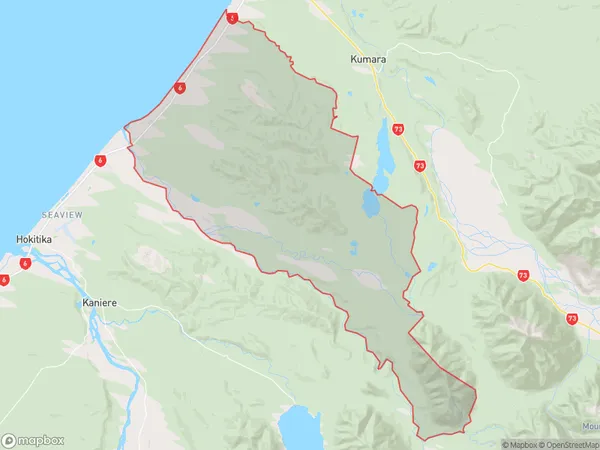
350 people live in Awatuna, Taranaki, NZAwatuna Suburb Area Map (Polygon)
Awatuna Introduction
Awatuna is a small coastal town in Hokitika, Taranaki, New Zealand. It is known for its beautiful beach, clear waters, and stunning natural surroundings. The town has a population of around 2,000 people and is a popular destination for tourists and locals alike. It is located on the western coast of the Taranaki region, approximately 25 kilometers from Hokitika and 120 kilometers from New Plymouth.Region
Major City
Suburb Name
AwatunaOther Name(s)
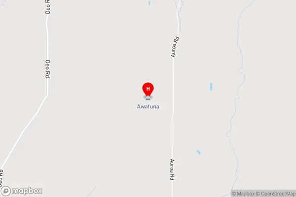
Callaghans, Chesterfield, Goldsborough, Goldsborough (Waimea), StaffordAwatuna Area Map (Street)
Local Authority
Westland DistrictFull Address
Awatuna, Westland District, New ZealandAddress Type
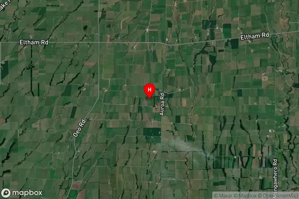
Locality in Town HokitikaAwatuna Suburb Map (Satellite)
Country
Main Region in AU
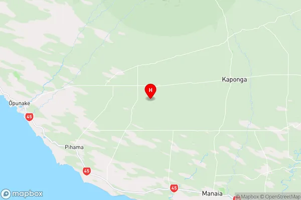
TaranakiAwatuna Region Map
Coordinates
-39.45126,174.039668 (latitude/longitude)Distances
The distance from Awatuna, Hokitika, Westland District to NZ Top 10 Cities