Arnold Valley Area, Arnold Valley Postcode & Map in Arnold Valley
Arnold Valley Area, Arnold Valley Postcode & Map in Arnold Valley, Grey District,
Arnold Valley, Grey District,
Arnold Valley Area (estimated)
188.0 square kilometersArnold Valley Population (estimated)
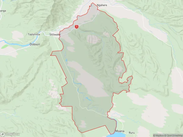
215 people live in Arnold Valley, , NZArnold Valley Suburb Area Map (Polygon)
Arnold Valley Introduction
Arnold Valley is a small rural community in the Ashburton District of New Zealand's Canterbury Province. It is located 12 kilometers south of Ashburton and 100 kilometers west of Christchurch. The area is known for its scenic rural landscapes, including rolling hills, farmland, and the Arnold River. The community has a primary school, a post office, and a small supermarket. Arnold Valley is a popular destination for outdoor activities such as hiking, cycling, and fishing, with several walking and cycling trails in the area.00Suburb Name
Arnold ValleyOther Name(s)
Aratika, Kaimata, Kamaka, Kokiri, Notown, Red JacksArnold Valley Area Map (Street)
Local Authority
Grey DistrictFull Address
Arnold Valley, Grey District,Address Type
Locality in Major Locality Arnold ValleyArnold Valley Suburb Map (Satellite)
Country
Main Region in AU
Arnold Valley Region Map
Coordinates
0,0 (latitude/longitude)Distances
The distance from Arnold Valley, Arnold Valley, Grey District to NZ Top 10 Cities