Cattle Creek Area, Cattle Creek Postcode(7999) & Map in Cattle Creek
Cattle Creek Area, Cattle Creek Postcode(7999) & Map in Cattle Creek, Waimate District, New Zealand
Cattle Creek, Waimate District, New Zealand
Cattle Creek Postcodes
Cattle Creek Area (estimated)
179.1 square kilometersCattle Creek Population (estimated)
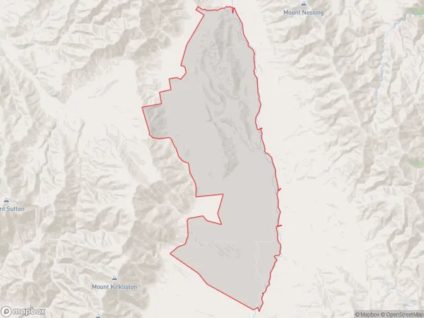
37 people live in Cattle Creek, Canterbury, NZCattle Creek Suburb Area Map (Polygon)
Cattle Creek Introduction
Cattle Creek is a small rural community in the Hakataramea Valley, Canterbury, New Zealand. It is located on State Highway 1, approximately 30 kilometers north of Kaiapoi and 120 kilometers south of Christchurch. The area is known for its scenic rural landscapes, including rolling hills, farmland, and native forests. The community has a primary school, a post office, a convenience store, and a few small businesses. Cattle Creek is a popular destination for outdoor activities such as hiking, fishing, and hunting. The nearby Hakataramea River provides opportunities for water sports and swimming.Region
Major City
Suburb Name
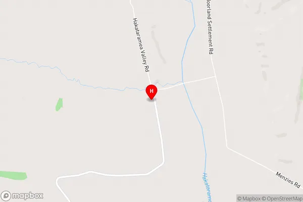
Cattle CreekCattle Creek Area Map (Street)
Local Authority
Waimate DistrictFull Address
Cattle Creek, Waimate District, New ZealandAddress Type
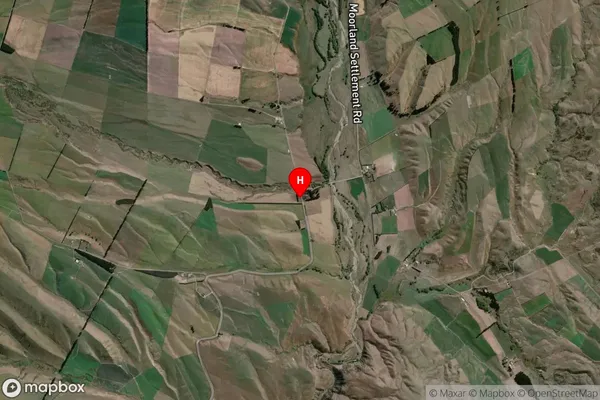
Locality in Major Locality Hakataramea ValleyCattle Creek Suburb Map (Satellite)
Country
Main Region in AU
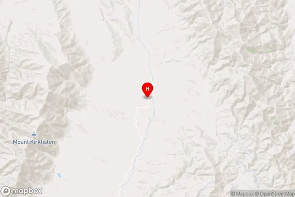
CanterburyCattle Creek Region Map
Coordinates
-44.5107294,170.6748353 (latitude/longitude)Distances
The distance from Cattle Creek, Hakataramea Valley, Waimate District to NZ Top 10 Cities