Awatere Valley Area, Awatere Valley Postcode & Map in Awatere Valley
Awatere Valley Area, Awatere Valley Postcode & Map in Awatere Valley, Marlborough District,
Awatere Valley, Marlborough District,
Awatere Valley Area (estimated)
2670.5 square kilometersAwatere Valley Population (estimated)
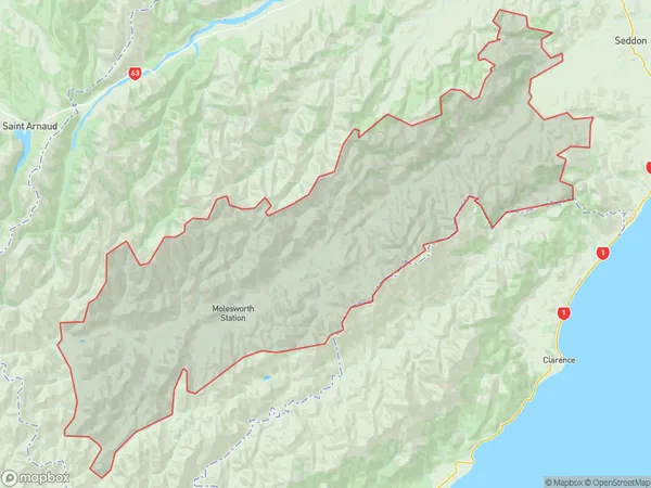
149 people live in Awatere Valley, Seddon, NZAwatere Valley Suburb Area Map (Polygon)
Awatere Valley Introduction
Awatere Valley is a picturesque rural area located in Seddon, Marlborough, New Zealand. It is known for its stunning landscapes, including rolling hills, lush green valleys, and picturesque rivers. The area is popular for outdoor activities such as hiking, cycling, and fishing, and is home to a variety of wildlife, including birds, deer, and rabbits. The valley is also home to several historic buildings, including the Awatere Hotel, which was built in 1887 and is a popular tourist destination.Region
Major City
Suburb Name
Awatere ValleyAwatere Valley Area Map (Street)
Local Authority
Marlborough DistrictFull Address
Awatere Valley, Marlborough District,Address Type
Locality in Town SeddonAwatere Valley Suburb Map (Satellite)
Country
Main Region in AU
MarlboroughAwatere Valley Region Map
Coordinates
0,0 (latitude/longitude)Distances
The distance from Awatere Valley, Seddon, Marlborough District to NZ Top 10 Cities