Fairy Springs Area, Fairy Springs Postcode(3045) & Map in Fairy Springs
Fairy Springs Area, Fairy Springs Postcode(3045) & Map in Fairy Springs, Rotorua District, New Zealand
Fairy Springs, Rotorua District, New Zealand
Fairy Springs Area (estimated)
4.0 square kilometersFairy Springs Population (estimated)
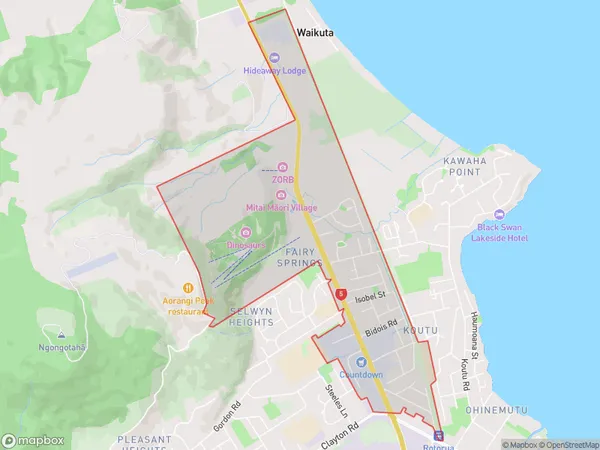
2159 people live in Fairy Springs, Rotorua, NZFairy Springs Suburb Area Map (Polygon)
Fairy Springs Introduction
Fairy Springs is a thermal area in Rotorua, Bay of Plenty, New Zealand. It is known for its colorful and fragrant geysers, including the famous Blue Lagoon, which is a popular tourist attraction. The area also features hot pools, mud baths, and a variety of wildlife, including birds and ducks.Region
Major City
Suburb Name
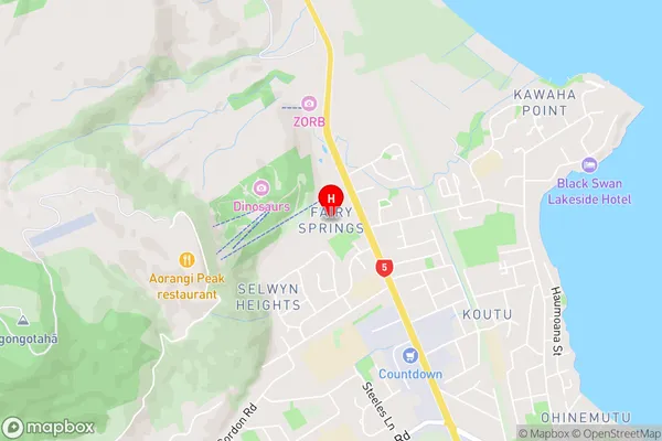
Fairy SpringsFairy Springs Area Map (Street)
Local Authority
Rotorua DistrictFull Address
Fairy Springs, Rotorua District, New ZealandAddress Type
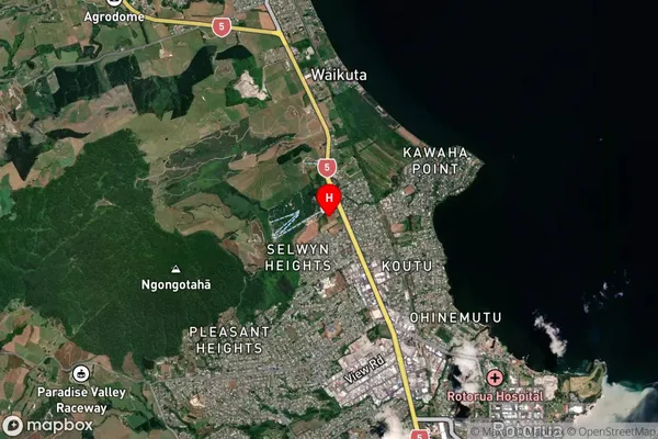
Suburb in City RotoruaFairy Springs Suburb Map (Satellite)
Country
Main Region in AU
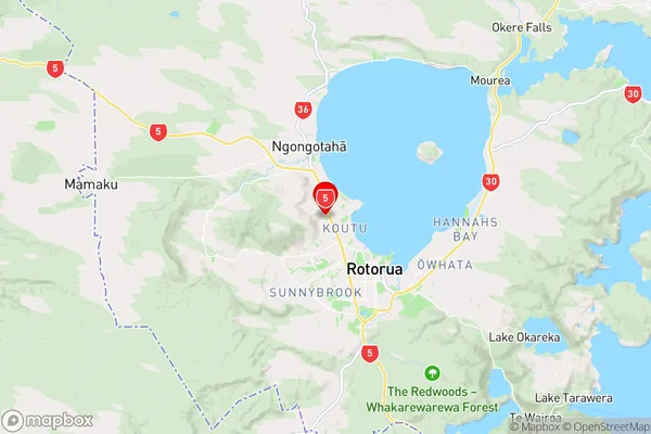
Bay of PlentyFairy Springs Region Map
Coordinates
-38.1122581,176.2219027 (latitude/longitude)Distances
The distance from Fairy Springs, Rotorua, Rotorua District to NZ Top 10 Cities