Gordonton Area, Gordonton Postcode(3264) & Map in Gordonton
Gordonton Area, Gordonton Postcode(3264) & Map in Gordonton, Waikato District, New Zealand
Gordonton, Waikato District, New Zealand
Gordonton Area (estimated)
130.2 square kilometersGordonton Population (estimated)
1826 people live in Gordonton, Waikato, NZGordonton Suburb Area Map (Polygon)

Gordonton Introduction
Gordonton is a small rural town in Hamilton, Waikato, New Zealand. It is known for its historic stone buildings and scenic surroundings, including the Gordonton Forest Park. The town has a population of around 1,000 people and is located about 20 kilometers south of Hamilton city.Region
Major City
Suburb Name
GordontonOther Name(s)
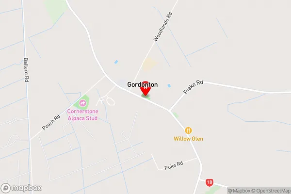
North HuntingtonGordonton Area Map (Street)
Local Authority
Waikato DistrictFull Address
Gordonton, Waikato District, New ZealandAddress Type
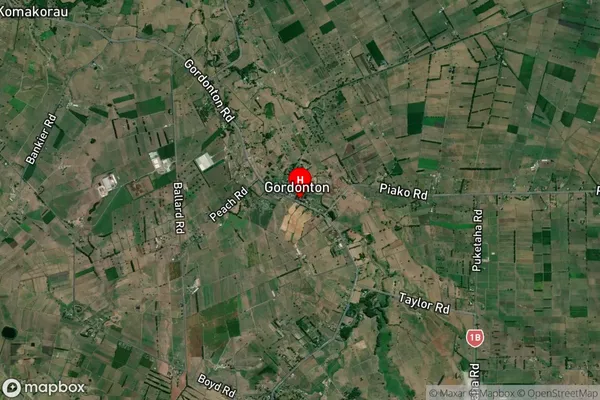
Locality in City HamiltonGordonton Suburb Map (Satellite)
Country
Main Region in AU
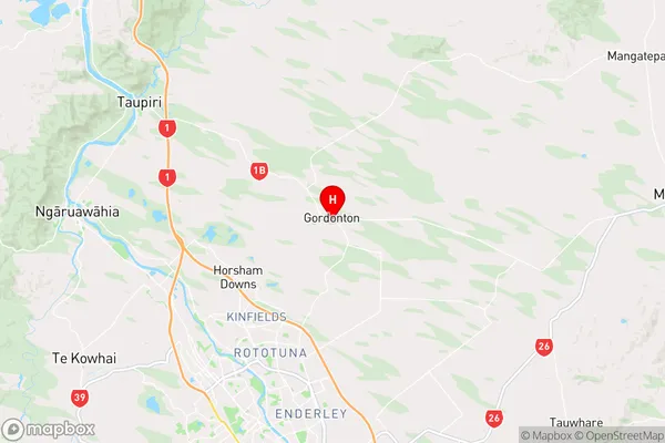
WaikatoGordonton Region Map
Coordinates
-37.6711885,175.3082395 (latitude/longitude)Distances
The distance from Gordonton, Hamilton, Waikato District to NZ Top 10 Cities