Castlecliff Area, Castlecliff Postcode(4541) & Map in Castlecliff
Castlecliff Area, Castlecliff Postcode(4541) & Map in Castlecliff, Whanganui District, New Zealand
Castlecliff, Whanganui District, New Zealand
Castlecliff Area (estimated)
11.4 square kilometersCastlecliff Population (estimated)
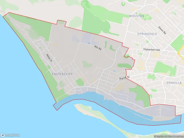
5688 people live in Castlecliff, Whanganui, NZCastlecliff Suburb Area Map (Polygon)

Castlecliff Introduction
Castlecliff is a suburb of Whanganui, New Zealand. It is located on the eastern side of the city, overlooking the Wanganui River. The area was developed in the late 19th century as a residential area for workers from the nearby coal mines and factories. Today, Castlecliff is a popular residential area with a mix of older homes and new developments. It is known for its scenic views, walking trails, and proximity to the city center.Region
Major City
Suburb Name
CastlecliffOther Name(s)
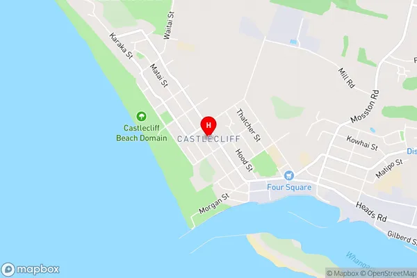
BalgownieCastlecliff Area Map (Street)

Local Authority
Whanganui DistrictFull Address
Castlecliff, Whanganui District, New ZealandAddress Type
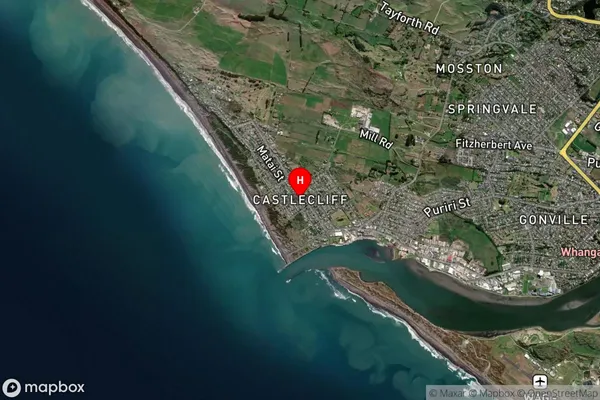
Suburb in Town WhanganuiCastlecliff Suburb Map (Satellite)

Country
Main Region in AU
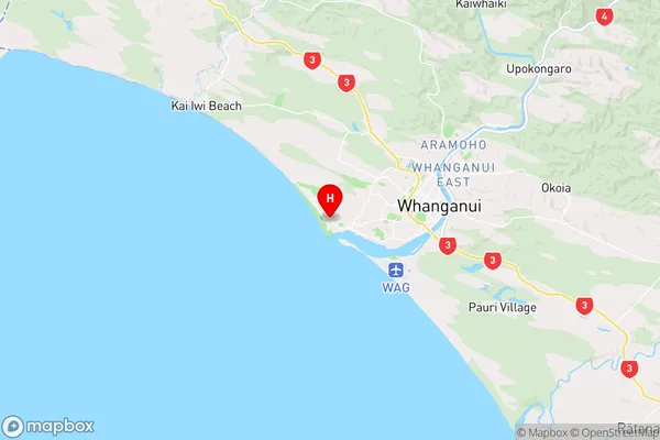
Manawatu-WanganuiCastlecliff Region Map

Coordinates
-39.9392955,174.9835768 (latitude/longitude)Distances
The distance from Castlecliff, Whanganui, Whanganui District to NZ Top 10 Cities